Borders of the Roman Empire, Hadrian's Wall
Map
Facts and practical information
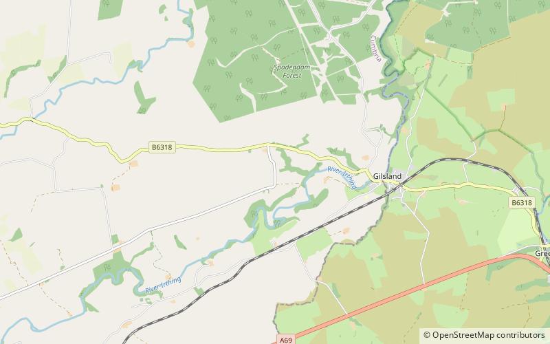
The borders of the Roman Empire, which fluctuated throughout the empire's history, were realised as a combination of military roads and linked forts, natural frontiers and man-made fortifications which separated the lands of the empire from the countries beyond. ()
Address
Hadrian's Wall
ContactAdd
Social media
Add
Day trips


Frequently Asked Questions (FAQ)
Which popular attractions are close to Borders of the Roman Empire?
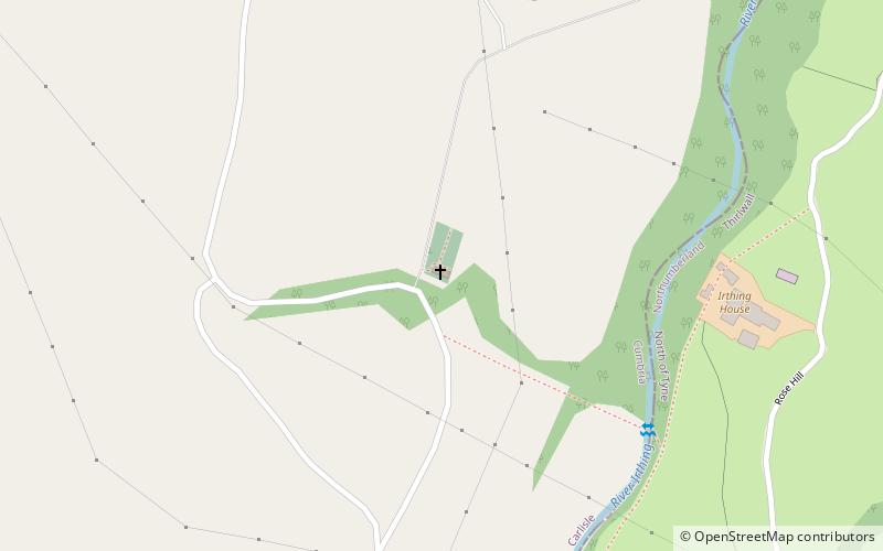
Nearby attractions include Banna, Hadrian's Wall (6 min walk), Birdoswald Roman Fort, Brampton (6 min walk), Milecastle 49, Hadrian's Wall (7 min walk), Milecastle 50, Hadrian's Wall (18 min walk).