Weston-Worle Ridge, Weston-super-Mare
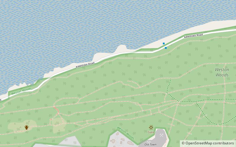
Map

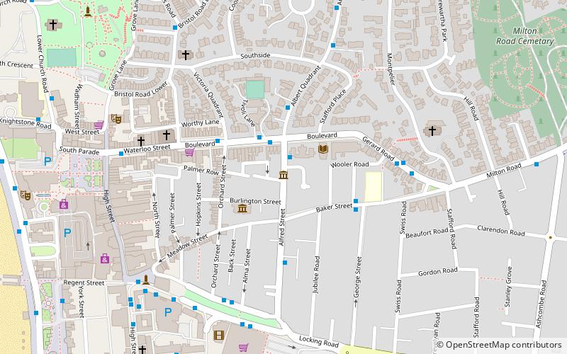
Map

Facts and practical information
The Weston-Worle Ridge is a range of three hills just north of Weston-super-Mare. Going from west to east, these hills are Worlebury Hill, Milton Hill, and Worle Hill. ()
Coordinates: 51°21'36"N, 2°58'48"W
Address
Weston-super-Mare
ContactAdd
Social media
Add
Day trips
Weston-Worle Ridge – popular in the area (distance from the attraction)
Nearby attractions include: Weston-super-Mare Town Hall, Odeon Cinema, The Playhouse, The Blakehay Theatre.
Frequently Asked Questions (FAQ)
Which popular attractions are close to Weston-Worle Ridge?
Nearby attractions include Worlebury Hill, Weston-super-Mare (4 min walk), Worlebury Camp, Weston-super-Mare (8 min walk), All Saints Church, Weston-super-Mare (13 min walk), The Blakehay Theatre, Weston-super-Mare (16 min walk).
How to get to Weston-Worle Ridge by public transport?
The nearest stations to Weston-Worle Ridge:
Train
Train
- Weston-super-Mare (29 min walk)


