West Lanyon Quoit, Pendeen
Map

Map

Facts and practical information
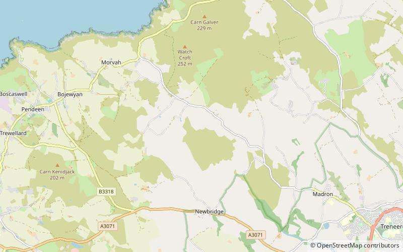
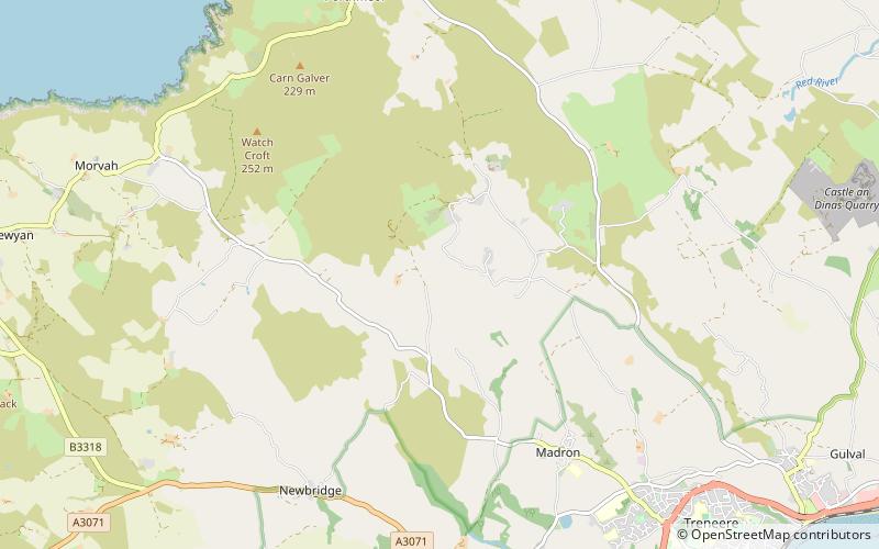
West Lanyon Quoit, also known as Lower Lanyon Quoit, is the remains of a prehistoric dolmen situated in the parish of Madron in Cornwall grid reference SW423337. It was excavated in the late 18th century, and much of the structure has since been destroyed. ()
Coordinates: 50°8'52"N, 5°36'28"W
Address
Pendeen
ContactAdd
Social media
Add
Day trips
West Lanyon Quoit – popular in the area (distance from the attraction)
Nearby attractions include: Mên-an-Tol, Lanyon Quoit, Boskednan stone circle, Ding Dong mines.
Frequently Asked Questions (FAQ)
Which popular attractions are close to West Lanyon Quoit?
Nearby attractions include Lanyon Quoit, Madron and Sancreed (10 min walk), Bosiliack Barrow, Pendeen (15 min walk), Mên-an-Tol, Madron and Sancreed (20 min walk), Ding Dong mines, Madron and Sancreed (21 min walk).


