Devil's Chimney, Isle of Wight
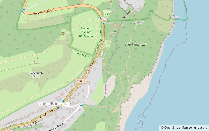
Map

Gallery

Facts and practical information
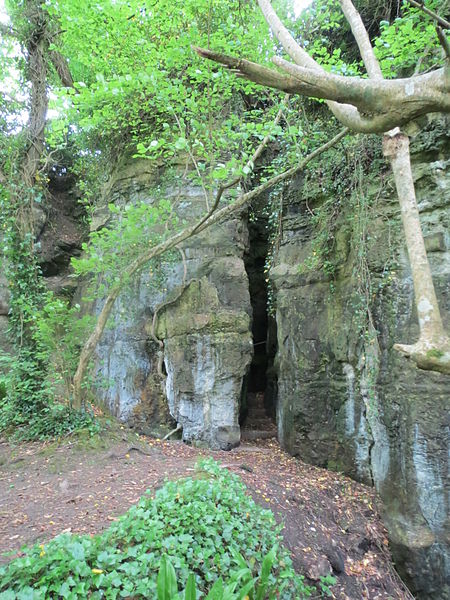
The Devil's Chimney is a scenic rock cleft with steps descending into the Bonchurch Landslips between Bonchurch and Luccombe, Isle of Wight. ()
Coordinates: 50°36'16"N, 1°10'52"W
Address
Isle of Wight
ContactAdd
Social media
Add
Day trips
Devil's Chimney – popular in the area (distance from the attraction)
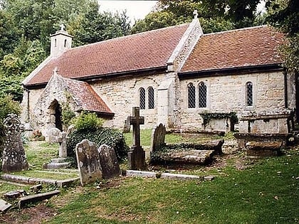
Nearby attractions include: Old St Boniface Church, St Blasius Church, St Boniface Church, St Boniface Down.
Frequently Asked Questions (FAQ)
Which popular attractions are close to Devil's Chimney?
Nearby attractions include Chink, Isle of Wight (5 min walk), St Boniface Church, Ventnor (11 min walk), Old St Boniface Church, Isle of Wight (11 min walk), Holy Trinity Church, Ventnor (22 min walk).
How to get to Devil's Chimney by public transport?
The nearest stations to Devil's Chimney:
Bus
Bus
- Bonchurch Car Park • Lines: 3 (5 min walk)
- Bonchurch Shute • Lines: 31 (5 min walk)


