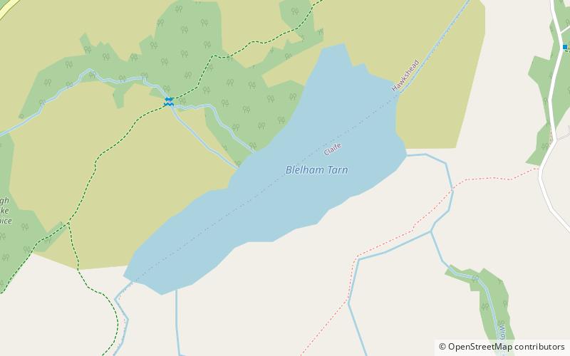
Blelham Tarn
Map

Map

Facts and practical information
Blelham Tarn is a large valley tarn in the Lake District of England, to the north of the hill Latterbarrow. The settlements of Outgate, Low Wray and High Wray are close by. The tarn is drained to the northeast by the short Blelham Beck into Windermere. This beck was previously straightened and lowered. Fish species in the tarn include brown trout, eel, perch, pike and roach, much of the tarn shore is reedbed and waterfowl present can include great crested grebe, whooper swan and golden-eye. ()
Length: 2165 ftWidth: 843 ftMaximum depth: 48 ftElevation: 144 ft a.s.l.Coordinates: 54°23'45"N, 2°58'41"W
Location
England
ContactAdd
Social media
Add
Day trips
Blelham Tarn – popular in the area (distance from the attraction)
Nearby attractions include: Brockhole, Galava, Esthwaite Water, Yew Tree Tarn.


