Whittleford Park, Nuneaton
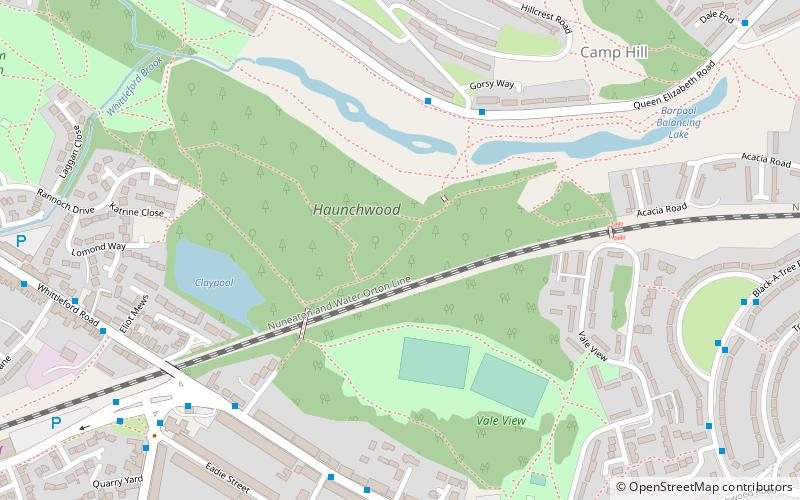
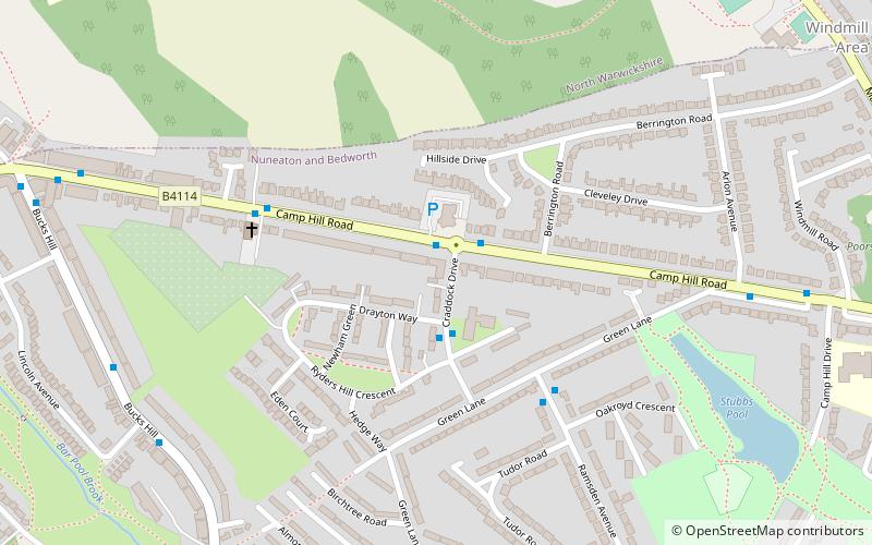
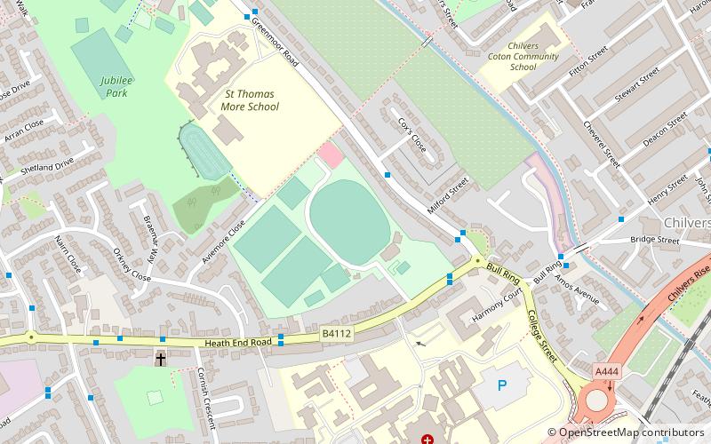
Map
Facts and practical information
Whittleford Park is a 43 hectare greenspace located between Stockingford and Camp Hill in Nuneaton, Warwickshire. Although its development as a public park by Warwickshire County Council only started in 2005 it has a long industrial history involved in coal mining and brick and tile making. ()
Elevation: 358 ft a.s.l.Coordinates: 52°31'30"N, 1°30'11"W
Address
Nuneaton
ContactAdd
Social media
Add
Getting there by public transportation
Public transportation stops near this location
- Bus
 Bus
Bus
- Calculate routeGeorge Eliot Hospital Main Entrance 40 min walk
Day trips


Frequently Asked Questions (FAQ)
Which popular attractions are close to Whittleford Park?
Nearby attractions include St Paul's Church, Nuneaton (12 min walk), St Anne's, Nuneaton (21 min walk), Mount Judd, Nuneaton (22 min walk).
How to get to Whittleford Park by public transport?
The nearest stations to Whittleford Park:
Bus
Bus
- George Eliot Hospital Main Entrance • Lines: 78, 78A (40 min walk)