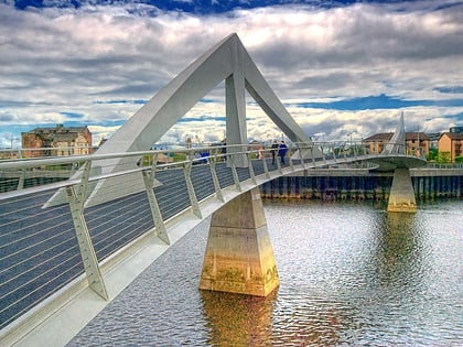
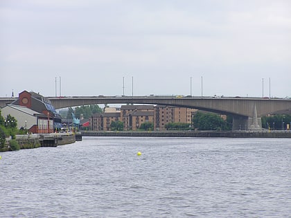
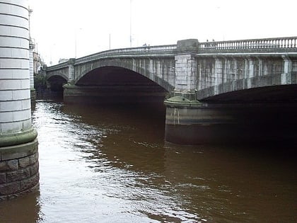
Broomielaw, Glasgow
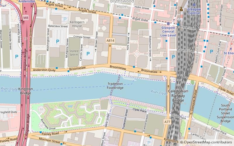
Map
Map

Facts and practical information
Broomielaw is a major thoroughfare in the city of Glasgow, Scotland. It runs adjacent to the River Clyde, on its north bank and forms the southern, waterside boundary of the city's International Financial Services District. ()
Coordinates: 55°51'24"N, 4°15'49"W
Address
City Centre (Anderston)Glasgow
ContactAdd
Social media
Add
Day trips
Broomielaw – popular in the area (distance from the attraction)
Nearby attractions include: Sub Club, St. Enoch Centre, The Lighthouse, Princes Square.
Frequently Asked Questions (FAQ)
Which popular attractions are close to Broomielaw?
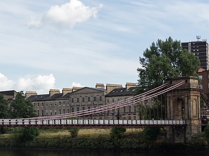
Nearby attractions include Tradeston Bridge, Glasgow (1 min walk), George V Bridge, Glasgow (5 min walk), St. Vincent Street, Glasgow (5 min walk), Caledonian Railway Bridge, Glasgow (5 min walk).
How to get to Broomielaw by public transport?
The nearest stations to Broomielaw:
Bus
Train
Metro
Bus
- Oswald Street / Argyle Street • Lines: 3, 38, 38A (4 min walk)
- Argyle Street / Robertson Street • Lines: c1 (5 min walk)
Train
- Glasgow Central Low Level (6 min walk)
- Glasgow Central (8 min walk)
Metro
- St Enoch • Lines: Subway (9 min walk)
- Bridge Street • Lines: Subway (10 min walk)


