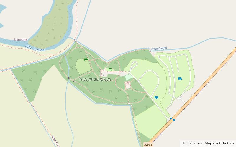
Ynysymaengwyn, Snowdonia National Park
Map

Map

Facts and practical information
Ynysymaengwyn was a gentry house in the parish of Tywyn, Gwynedd, situated near the left bank of the River Dysynni. The name means 'the white stone island'. ()
Elevation: 36 ft a.s.l.Coordinates: 52°36'2"N, 4°4'12"W
Address
Snowdonia National Park
ContactAdd
Social media
Add
Day trips
Ynysymaengwyn – popular in the area (distance from the attraction)
Nearby attractions include: Narrow Gauge Railway Museum, Talyllyn Railway, St Cadfan's Church, Cadfan Stone.
Frequently Asked Questions (FAQ)
How to get to Ynysymaengwyn by public transport?
The nearest stations to Ynysymaengwyn:
Bus
Train
Bus
- Ynysmaengwyn • Lines: 28 (6 min walk)
- Cemetery • Lines: 28 (17 min walk)
Train
- Fach Goch (15 min walk)
- Hendy (18 min walk)


