Carn Brea, Camborne
Map

Gallery

Facts and practical information
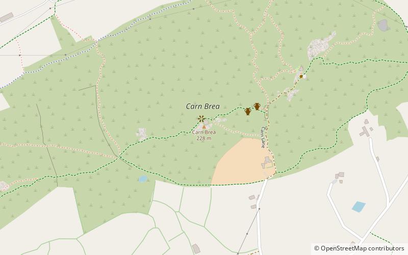
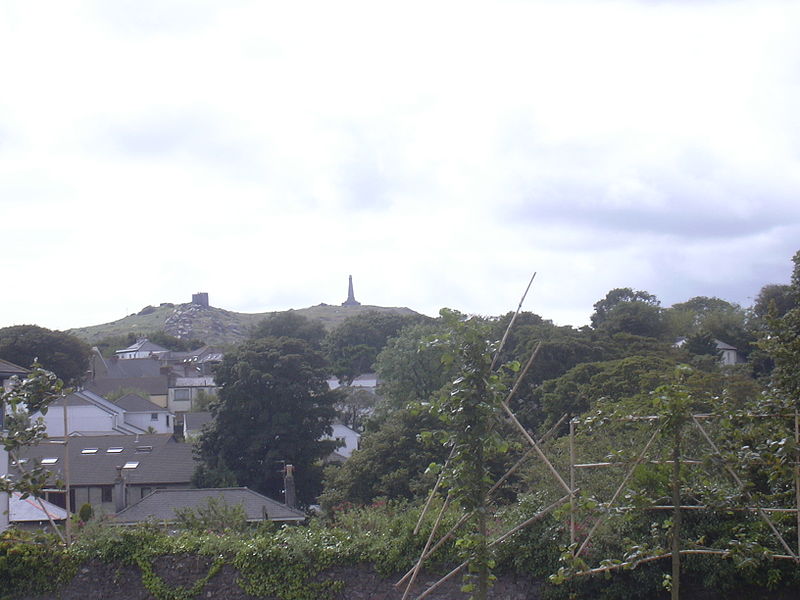
Carn Brea is a civil parish and hilltop site in Cornwall, England, United Kingdom. The population of Carn Brea including Bosleake and Church Coombe was 8,013 at the 2011 census. The hilltop site is situated approximately one mile southwest of Redruth. The settlements of Bosleake, Brea, Broad Lane, Carn Arthen, Carn Brea Village, Carnkie, Four Lanes, Grillis, Illogan Highway, Pencoys, Penhallick, Piece, Pool, Tolskithy, Tregajorran, Treskillard, Tuckingmill and West Tolgus are in the parish. ()
Coordinates: 50°13'15"N, 5°14'56"W
Address
Camborne
Contact
+44 1209 218358
Social media
Add
Day trips
Carn Brea – popular in the area (distance from the attraction)
Nearby attractions include: Great Flat Lode, Carn Brea Castle, Heartlands Cornwall, King Edward Mine.


