Lescudjack Hill Fort, Penzance
Map

Gallery

Facts and practical information
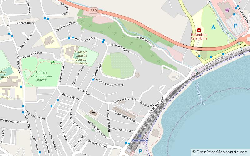
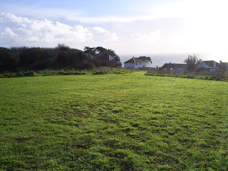
Lescudjack Hill fort is the name given to the unexcavated Iron Age settlement located in Penzance, Cornwall. It is positioned on the summit of a steep hill in the east of Penzance and consists of a single rampart enclosing an area of 3 acres. The site has been damaged and contains allotments and an open area of land which has recently been cleared of thick undergrowth. It is reported that a small lead-copper mine was situated "just outside" the ramparts, however all trace of this appears to have vanished. ()
Coordinates: 50°7'30"N, 5°31'59"W
Address
Penzance
ContactAdd
Social media
Add
Day trips
Lescudjack Hill Fort – popular in the area (distance from the attraction)
Nearby attractions include: Morrab Gardens, St Mary's Church, Penlee House, Morrab Library.
Frequently Asked Questions (FAQ)
Which popular attractions are close to Lescudjack Hill Fort?
Nearby attractions include Market Building, Penzance (12 min walk), Egyptian House, Penzance (13 min walk), St Mary's Church, Penzance (15 min walk), Trinity House National Lighthouse Museum, Penzance (17 min walk).
How to get to Lescudjack Hill Fort by public transport?
The nearest stations to Lescudjack Hill Fort:
Train
Bus
Train
- Penzance (5 min walk)
Bus
- East Terrace • Lines: T1 (6 min walk)
- Stand F • Lines: T1 (7 min walk)


