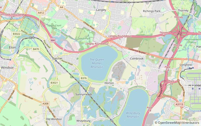
Queen Mother Reservoir, Slough
Map

Map

Facts and practical information
The Queen Mother Reservoir is a public water supply reservoir that lies between the M4 and the M25 to the west of London, close to Datchet. It is 475 acres in size or about 1 km in diameter - making it one of the largest inland areas of water in Southern England. It is managed by Thames Water. ()
Coordinates: 51°28'55"N, 0°32'56"W
Address
Slough
ContactAdd
Social media
Add
Day trips
Queen Mother Reservoir – popular in the area (distance from the attraction)
Nearby attractions include: Datchet, Colnbrook, Ditton Park, Slough Cricket Club.
Frequently Asked Questions (FAQ)
How to get to Queen Mother Reservoir by public transport?
The nearest stations to Queen Mother Reservoir:
Bus
Train
Bus
- Sutton Lane • Lines: 4, 703, 81 (20 min walk)
- The Toby • Lines: 4, 702, 703, 81 (22 min walk)
Train
- Sunnymeads (24 min walk)


