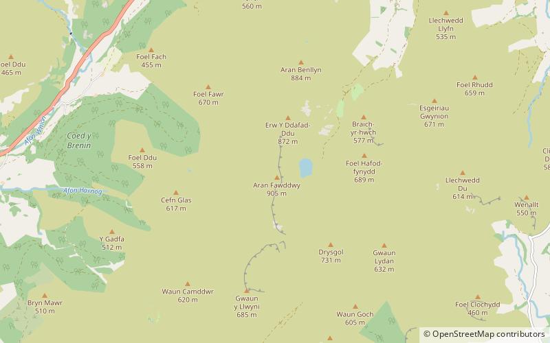
Waun Camddwr, Snowdonia National Park
Map

Map

Facts and practical information
Waun Camddwr is a top of Aran Fawddwy in the south of the Snowdonia National Park in Gwynedd, Wales. It is the highest point on a wide boggy area between the summits of Aran Fawddwy and Glasgwm. It was surveyed after the first Nuttall list was compiled, and found to have just enough prominence to be included. The summit is a rocky outcrop amid an area of heather, long grass and peat bog. Gwaun y Llwyni rises to the south of the summit. ()
Elevation: 2041 ftProminence: 52 ftCoordinates: 52°47'16"N, 3°41'18"W
Address
Snowdonia National Park
ContactAdd
Social media
Add
Day trips
Waun Camddwr – popular in the area (distance from the attraction)
Nearby attractions include: Aran Fawddwy, Foel Hafod-fynydd, Gwaun Lydan, Aran Benllyn.
Frequently Asked Questions (FAQ)
Which popular attractions are close to Waun Camddwr?
Nearby attractions include Gwaun Lydan, Snowdonia National Park (1 min walk), Foel Hafod-fynydd, Snowdonia National Park (1 min walk), Pen yr Allt Uchaf, Snowdonia National Park (1 min walk), Erw y Ddafad-ddu, Snowdonia National Park (1 min walk).


