Taps Combe Camp, Redhill
Map
Facts and practical information
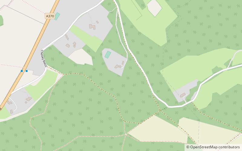
Taps Combe Camp is an Iron Age hill fort in North Somerset, England. The hill fort is situated approximately 1.8 miles east from the village of Brockley. The hill fort is shaped a lot like a "D", and is approximately 50 metres by 50 metres wide. ()
Coordinates: 51°23'59"N, 2°44'56"W
Address
Redhill
ContactAdd
Social media
Add
Getting there by public transportation
Public transportation stops near this location
- Bus
 Bus
Bus
- Calculate routeLong Lane 12 min walk
- Calculate routeBrockley Nursery 18 min walk
- Calculate routeLittlewood Lane 26 min walk
- Calculate routeCoombe Garage 28 min walk
Day trips


Frequently Asked Questions (FAQ)
Which popular attractions are close to Taps Combe Camp?
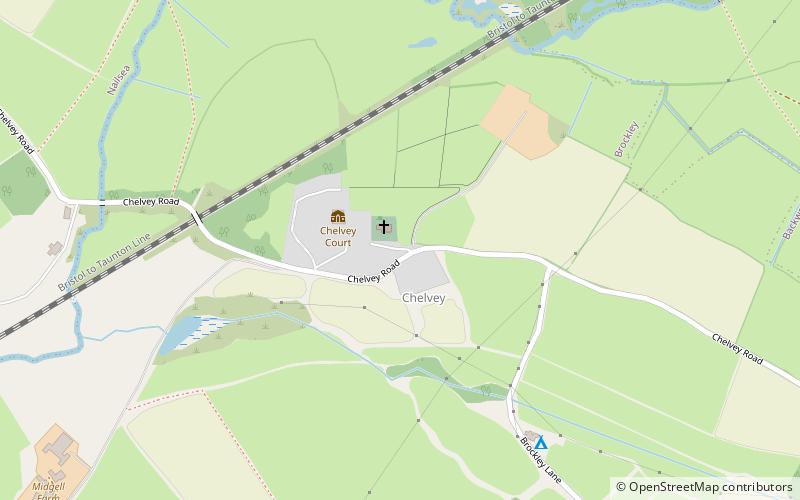
Nearby attractions include Brockley Combe, Redhill (10 min walk), St Nicholas' Church, Redhill (23 min walk).
How to get to Taps Combe Camp by public transport?
The nearest stations to Taps Combe Camp:
Bus
Bus
- Long Lane • Lines: 54 (12 min walk)
- Brockley Nursery • Lines: 54 (18 min walk)