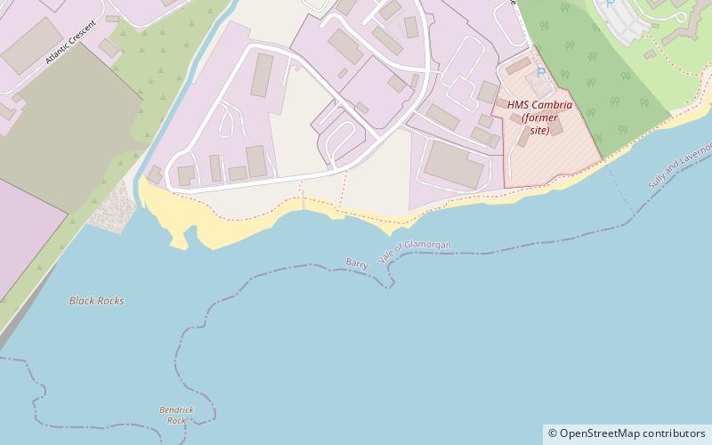
The Bendricks, Barry
Map

Map

Facts and practical information
The Bendricks is a stretch of coastline and an important paleontological site in the Vale of Glamorgan in south Wales located along the northern coast of the Bristol Channel between Barry and Sully at 51°23′46″N 3°14′50″W. It lies at the foreshore of the industrial port of Barry between the eastern breakwater of the Barry docks entrance on its western edge to Hayes Point on its eastern edge. This area of the coast is a Site of Special Scientific Interest. ()
Elevation: 13 ft a.s.l.Coordinates: 51°23'47"N, 3°14'42"W
Address
Barry
ContactAdd
Social media
Add
Day trips
The Bendricks – popular in the area (distance from the attraction)
Nearby attractions include: Atlantic Trading Estate, Barry Island, Barry Docks, Barry Waterfront.
Frequently Asked Questions (FAQ)
How to get to The Bendricks by public transport?
The nearest stations to The Bendricks:
Train
Bus
Train
- Barry Docks (21 min walk)
- Cadoxton (29 min walk)
Bus
- Weston Square • Lines: 304/303 (28 min walk)


