The Centre, Bristol
Map
Gallery
Facts and practical information
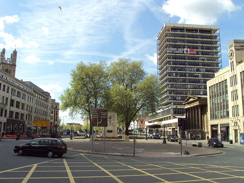
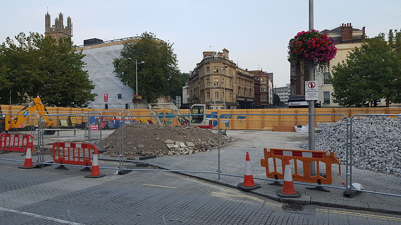
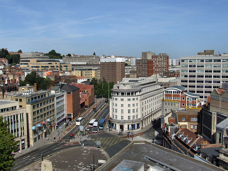
The Centre is a public open space in the central area of Bristol, England, created by covering over the River Frome. The northern end of The Centre, known as Magpie Park, is skirted on its western edge by Colston Avenue; the southern end is a larger paved area bounded by St Augustine's Parade to the west, Broad Quay the east, and St Augustine's Reach to the south, and bisected by the 2016 extension of Baldwin Street. The Centre is managed by Bristol City Council. ()
Elevation: 72 ft a.s.l.Coordinates: 51°27'14"N, 2°35'50"W
Address
CabotBristol
ContactAdd
Social media
Add
Day trips
The Centre – popular in the area (distance from the attraction)
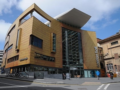
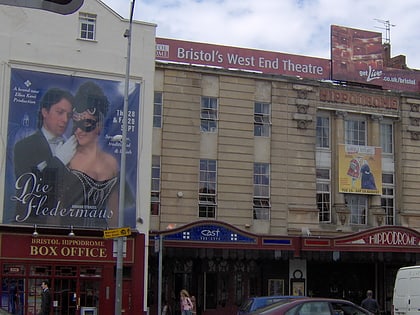
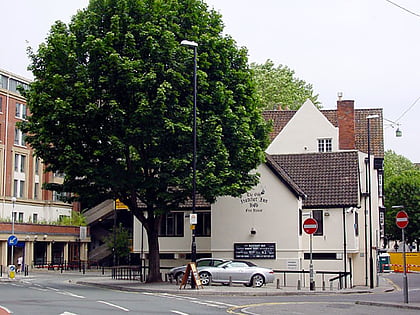
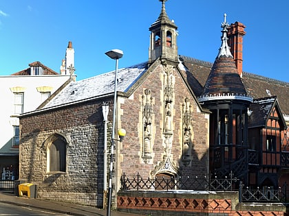
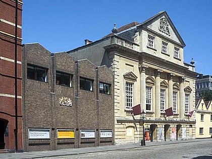
Nearby attractions include: O2 Academy Bristol, Watershed, Colston Hall, St Mary on the Quay.
Frequently Asked Questions (FAQ)
Which popular attractions are close to The Centre?
Nearby attractions include Bristol Cenotaph, Bristol (1 min walk), Beacon Tower, Bristol (2 min walk), Saint Stephen's, Bristol (2 min walk), Colston Hall, Bristol (2 min walk).
How to get to The Centre by public transport?
The nearest stations to The Centre:
Bus
Ferry
Train
Bus
- The Centre • Lines: 43, 902, m2 (2 min walk)
- College Green • Lines: 8, 9 (5 min walk)
Ferry
- City Centre • Lines: Hotwells-Centre (4 min walk)
- Prince Street Bridge • Lines: Hotwells-Centre (10 min walk)
Train
- Princes Wharf (11 min walk)
- SS Great Britain (14 min walk)


