Devil's Dyke, Ayot St Lawrence
Map

Gallery

Facts and practical information
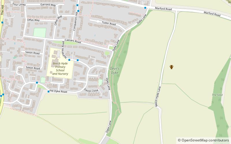
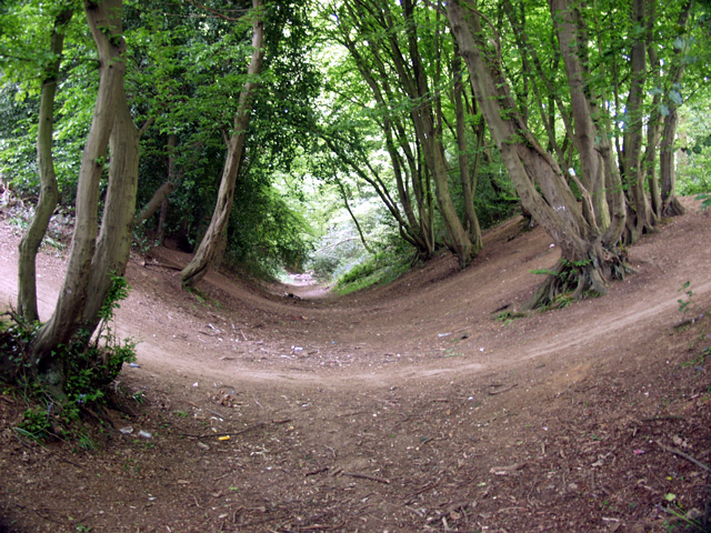
Devil's Dyke is the remains of a prehistoric defensive ditch which lies at the east side of the village of Wheathampstead, Hertfordshire, England. It is protected as a Scheduled Monument. It is generally agreed to have been part of the defences of an Iron Age settlement belonging to the Catuvellauni tribe of Ancient Britain. It has possible associations with Julius Caesar's second invasion of Britain ()
Coordinates: 51°48'24"N, 0°17'8"W
Address
Ayot St Lawrence
ContactAdd
Social media
Add
Day trips
Devil's Dyke – popular in the area (distance from the attraction)
Nearby attractions include: Brocket Hall, The Brocket Arms, Shaw's Corner, Stanborough Park.
Frequently Asked Questions (FAQ)
Which popular attractions are close to Devil's Dyke?
Nearby attractions include Devil's Dyke, Wheathampstead (1 min walk), St Helen's Church, Wheathampstead (15 min walk).
How to get to Devil's Dyke by public transport?
The nearest stations to Devil's Dyke:
Bus
Bus
- Sheepcote Lane • Lines: 610 (6 min walk)
- Conquerors Hill • Lines: 610 (7 min walk)


