Thynghowe
Map

Map

Facts and practical information
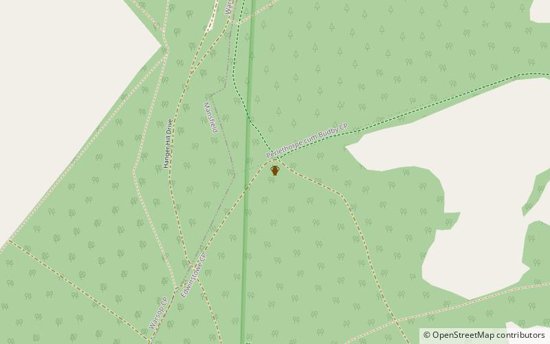
Thynghowe was an important Viking Era open-air assembly place or thing, located at Sherwood Forest, in Nottinghamshire, England. It was lost to history until its rediscovery in 2005 by the husband and wife team Lynda Mallett and Stuart Reddish, who are local history enthusiasts. As a result of continued research, Thynghowe is now included on the English Historic England Archive. ()
Coordinates: 53°12'32"N, 1°6'11"W
Location
England
ContactAdd
Social media
Add
Day trips
Thynghowe – popular in the area (distance from the attraction)
Nearby attractions include: Sherwood Forest Railway, Rufford Abbey, Major Oak, Clumber Park.


