Titnore Wood, South Downs National Park
Map

Map

Facts and practical information
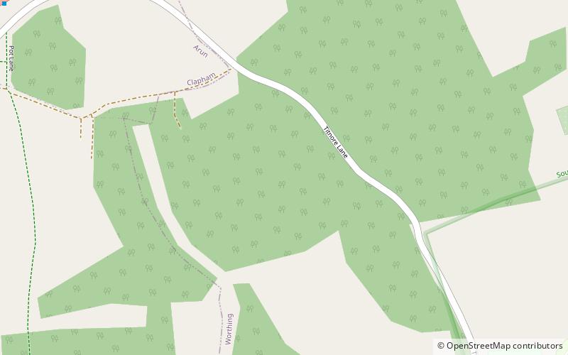
Titnore Wood is an area of ancient woodland to the north-west of Worthing in West Sussex. With neighbouring Goring Wood it forms one of the last remaining blocks of ancient woodland on the West Sussex coastal plain. ()
Coordinates: 50°50'7"N, 0°26'30"W
Address
South Downs National Park
ContactAdd
Social media
Add
Day trips
Titnore Wood – popular in the area (distance from the attraction)
Nearby attractions include: Highdown Gardens, Highdown Hill, St Symphorian's Church, Clapham Wood.
Frequently Asked Questions (FAQ)
Which popular attractions are close to Titnore Wood?
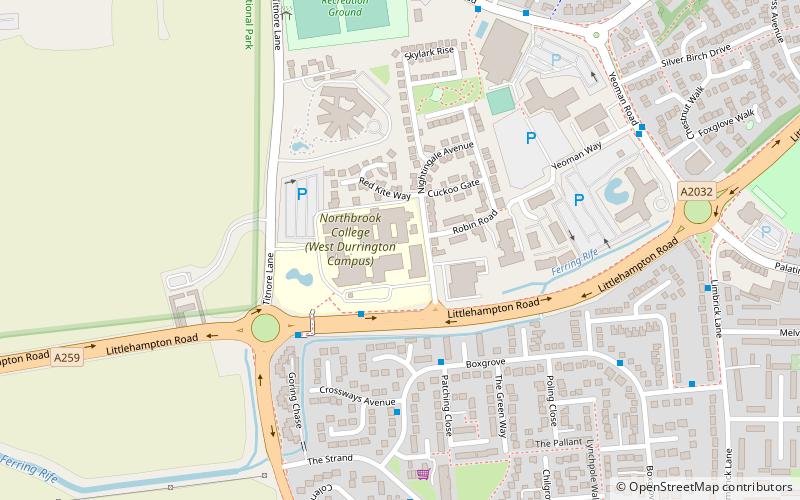
Nearby attractions include Castle Goring, Worthing (11 min walk), Highdown Hill, South Downs National Park (15 min walk), Highdown Gardens, South Downs National Park (17 min walk), Northbrook Metropolitan College, Worthing (24 min walk).
How to get to Titnore Wood by public transport?
The nearest stations to Titnore Wood:
Bus
Bus
- Batemans Close • Lines: Pulse (18 min walk)
- Orkney Court • Lines: Pulse (19 min walk)


