Treen Cove
Map

Map

Facts and practical information
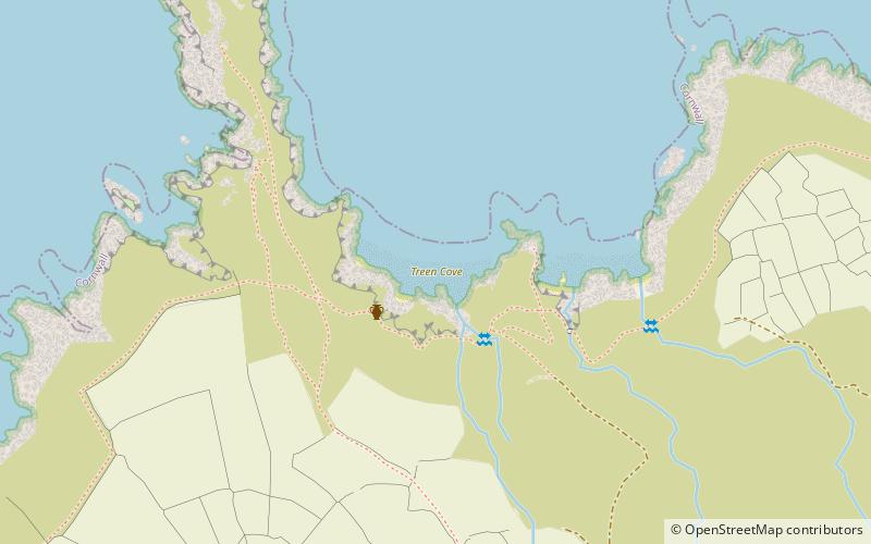
Treen Cove is a tidal beach on the north coast of the Penwith peninsula, Cornwall, England, UK. It is about half a mile northwest of the hamlet of Treen, and nestles between Lean Point to the east and Gurnard's Head to the west. The name of this cove is from the Cornish 'tre' and 'din', referring to the adjacent Iron Age promontory fort at Gurnard's Head. ()
Coordinates: 50°11'20"N, 5°35'41"W
Location
England
ContactAdd
Social media
Add
Day trips
Treen Cove – popular in the area (distance from the attraction)
Nearby attractions include: St Senara's Church, Tinner's Arms, Wayside Folk Museum, Pendour Cove.


