Trim Street, Bath
Map
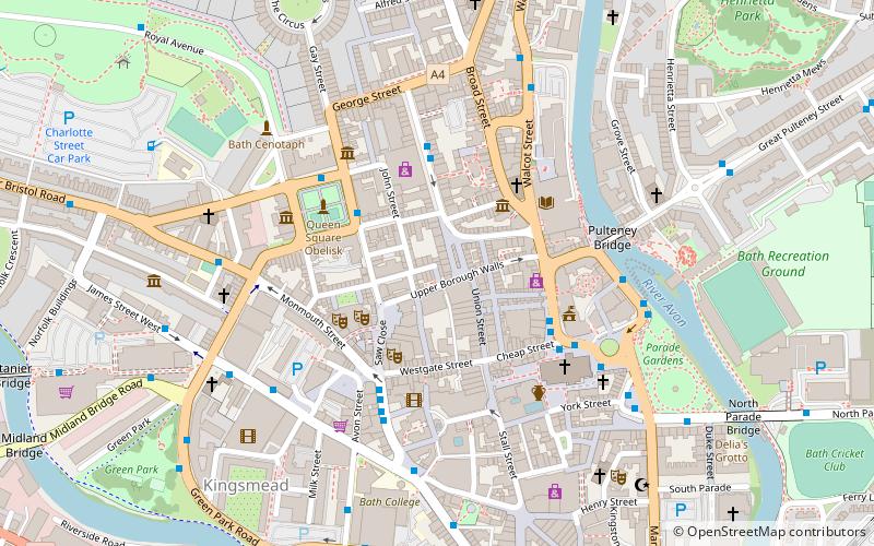
Map

Facts and practical information
Trim Street in Bath, Somerset, England is an historic street, built in 1707, of shops and houses, many of which are listed buildings. It was named after George Trim who owned the land. ()
Built: XVIII centuryCoordinates: 51°22'57"N, 2°21'41"W
Address
Bath
ContactAdd
Social media
Add
Day trips
Trim Street – popular in the area (distance from the attraction)
Nearby attractions include: Roman Baths, Bath Abbey, Victoria Art Gallery, Pulteney Bridge.
Frequently Asked Questions (FAQ)
Which popular attractions are close to Trim Street?
Nearby attractions include Bath city walls, Bath (1 min walk), Cheap Street, Bath (2 min walk), Ghost Walks of Bath, Bath (2 min walk), Wood Street, Bath (2 min walk).
How to get to Trim Street by public transport?
The nearest stations to Trim Street:
Bus
Train
Bus
- Milsom Street Sg • Lines: 31 (3 min walk)
- Westgate Buildings Wd • Lines: 21 (3 min walk)
Train
- Bath Spa (11 min walk)
- Oldfield Park (22 min walk)


