Uttoxeter Canal
Map

Map

Facts and practical information
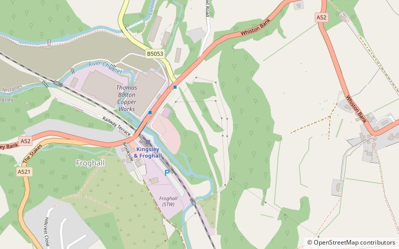
The Uttoxeter Canal pronounced was a thirteen-mile extension of the Caldon Canal running from Froghall as far as Uttoxeter in Staffordshire, England. It was authorised in 1797, but did not open until 1811. With the exception of the first lock and basin at Froghall, it closed in 1849, in order that the Churnet Valley line of the North Staffordshire Railway could be constructed along its length. The railway has since been dismantled and there are plans to reinstate the canal. ()
Length: 13 miCoordinates: 53°1'19"N, 1°57'44"W
Location
England
ContactAdd
Social media
Add
Day trips
Uttoxeter Canal – popular in the area (distance from the attraction)
Nearby attractions include: Oblivion Roller Coaster, The Smiler, Hex, Spinball Whizzer.


