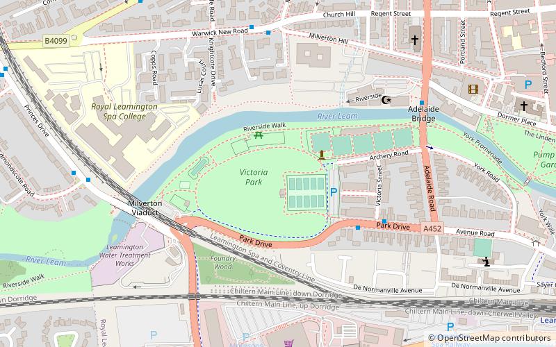
Victoria Park, Leamington Spa
Map
Facts and practical information
Victoria Park is a public park in Leamington Spa, Warwickshire, England. It is situated about half a mile west of the town centre and is on the south bank of the River Leam. The total area of the park as it stands today is 18.5 acres. ()
Elevation: 171 ft a.s.l.Coordinates: 52°17'14"N, 1°32'41"W
Address
Victoria ParkLeamington Spa CV31 3PW
ContactAdd
Social media
Add
Getting there by public transportation
Public transportation stops near this location
- Bus
- Train
 Bus
Bus
- Calculate routeOswald Road 9 min walk
- Calculate routeShops 11 min walk
- Calculate routeDormer Place 11 min walk
- Calculate routeWar Memorial 11 min walk
- Calculate routeLeamington Spa 11 min walk
Day trips


Frequently Asked Questions (FAQ)
Which popular attractions are close to Victoria Park?
Nearby attractions include Foundry Wood, Leamington Spa (4 min walk), Royal Pump Room Gardens, Leamington Spa (9 min walk), The Dell, Leamington Spa (10 min walk), Royal Pump Rooms, Leamington Spa (11 min walk).
How to get to Victoria Park by public transport?
The nearest stations to Victoria Park:
Bus
Train
Bus
- Oswald Road • Lines: 1 (9 min walk)
- Shops • Lines: 1 (11 min walk)
Train
- Leamington Spa (11 min walk)