St Augustine's Church, Norwich
Map

Map

Facts and practical information
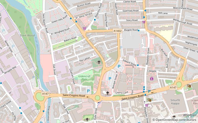
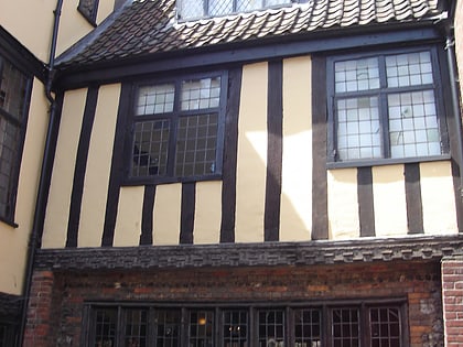
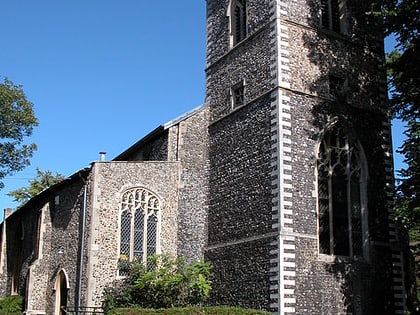
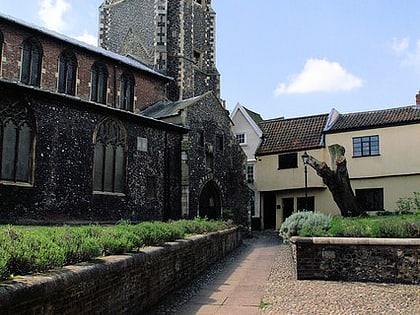
St Augustine's Church is a redundant Anglican church building in the city of Norwich, Norfolk, England. It is recorded in the National Heritage List for England as a designated Grade I listed building. and is under the care of the Churches Conservation Trust. The church stands to the west of St Augustine's Street, the A1024 road, to the north of the Norwich inner ring road. ()
Architectural style: English gothicCoordinates: 52°38'14"N, 1°17'33"E
Day trips
St Augustine's Church – popular in the area (distance from the attraction)
Nearby attractions include: Anglia Square Shopping Centre, Surrey Chapel, Hungate Medieval Art, Strangers' Hall.
Frequently Asked Questions (FAQ)
Which popular attractions are close to St Augustine's Church?
Nearby attractions include Gildencroft Quaker Cemetery, Norwich (3 min walk), Surrey Chapel, Norwich (4 min walk), St Martin at Oak, Norwich (5 min walk), Octagon Chapel, Norwich (8 min walk).
How to get to St Augustine's Church by public transport?
The nearest stations to St Augustine's Church:
Bus
Train
Bus
- Edward Street, adj • Lines: 11, 11A, 11B, 12, 13, 13C, 21, 210, 21A, 22, 36, 37, 38, 39, 45, 50, 50A, 5A, 606, X11, X5 (4 min walk)
- Buxton Road, opp • Lines: 21, 21A, 22 (4 min walk)
Train
- Norwich (26 min walk)


