St Laurence and All Saints Church, Southend
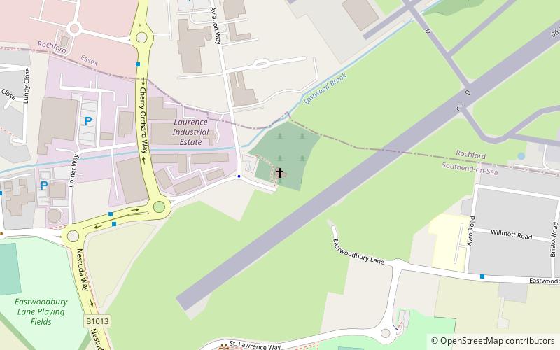
Map

Map

Facts and practical information
St Laurence and All Saints is a Grade I listed medieval church in the parish of Eastwood, Essex, England, which has been under threat from plans to expand London Southend Airport. ()
Coordinates: 51°34'4"N, 0°41'5"E
Day trips
St Laurence and All Saints Church – popular in the area (distance from the attraction)
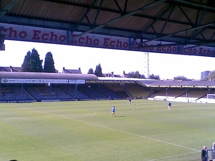
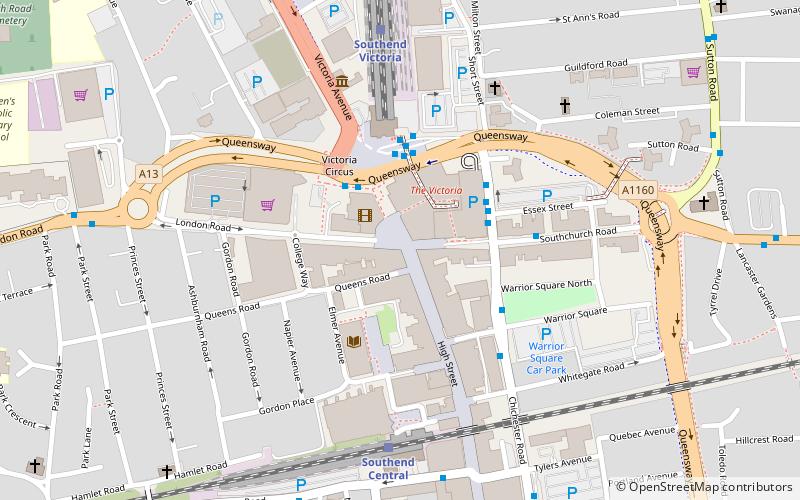
Nearby attractions include: Roots Hall, Prittlewell Priory, The Railway Hotel, Havens.
Frequently Asked Questions (FAQ)
How to get to St Laurence and All Saints Church by public transport?
The nearest stations to St Laurence and All Saints Church:
Bus
Train
Bus
- Comet Way • Lines: 63, 9 (6 min walk)
- Rochford Business Park • Lines: 63 (7 min walk)
Train
- Southend Airport (23 min walk)
- Rochford (32 min walk)


