St Vincent's Church, Sheffield
Map

Gallery

Facts and practical information
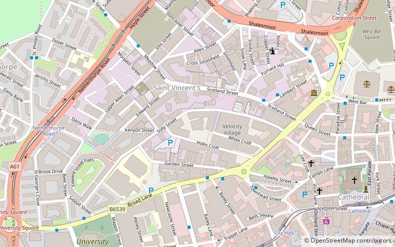
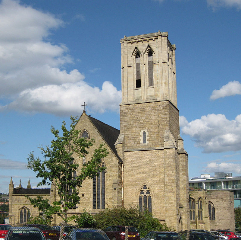
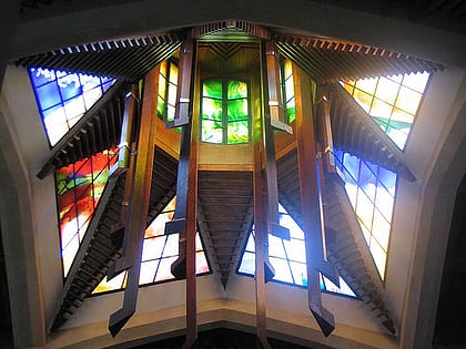
St Vincent's Church is a disused Roman Catholic church situated on Solly Street at its junction with Hollis Croft in the centre of the City of Sheffield, South Yorkshire, England. ()
Coordinates: 53°23'5"N, 1°28'34"W
Address
Central SheffieldSheffield
ContactAdd
Social media
Add
Day trips
St Vincent's Church – popular in the area (distance from the attraction)
Nearby attractions include: National Emergency Services Museum, Kelham Island Tavern, Crucible Theatre, Sheffield Cathedral.
Frequently Asked Questions (FAQ)
Which popular attractions are close to St Vincent's Church?
Nearby attractions include St Vincent's Quarter, Sheffield (2 min walk), Turner Museum of Glass, Sheffield (6 min walk), National Emergency Services Museum, Sheffield (6 min walk), Sheffield City Centre, Sheffield (7 min walk).
How to get to St Vincent's Church by public transport?
The nearest stations to St Vincent's Church:
Bus
Tram
Train
Bus
- Scotland Street/Meadow Street • Lines: 135 (2 min walk)
- Moorfields/Allen Street • Lines: 135, 81, 82, 86 (5 min walk)
Tram
- City Hall • Lines: Blue, Yell (7 min walk)
- Netherthorpe Road • Lines: Blue, Yell (7 min walk)
Train
- Sheffield (19 min walk)


