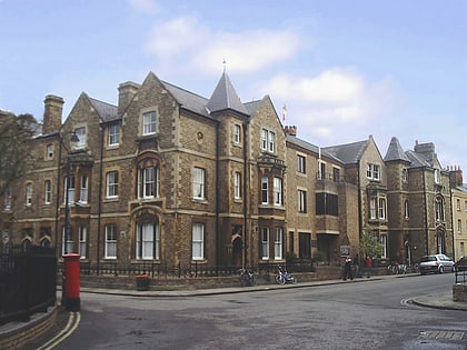
St Giles' Church, Oxford
Map

Gallery
Facts and practical information
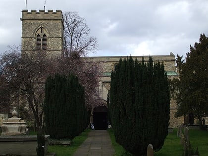
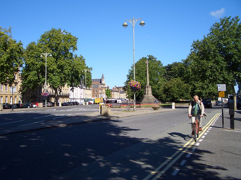
St. Giles' Church is a church in North Oxford, England. It is at the northern end of the wide thoroughfare of St Giles', at the point where it meets Woodstock Road and Banbury Road. It stands between where Little Clarendon Street joins Woodstock Road and Keble Road joins Banbury Road. ()
Coordinates: 51°45'33"N, 1°15'38"W
Day trips
St Giles' Church – popular in the area (distance from the attraction)
Nearby attractions include: Walton Street, Ashmolean Museum, Little Clarendon Street, Oxford University Museum of Natural History.
Frequently Asked Questions (FAQ)
When is St Giles' Church open?
St Giles' Church is open:
- Monday 12 pm - 2 pm & 5:30 pm - 6 pm
- Tuesday 12 pm - 2 pm & 5:30 pm - 6 pm
- Wednesday 12 pm - 2 pm & 5:30 pm - 6 pm
- Thursday 12 pm - 2 pm & 5:30 pm - 6 pm
- Friday 12 pm - 2 pm & 5:30 pm - 6 pm
- Saturday 5:30 pm - 6 pm
- Sunday 8 am - 8:30 am & 10 am - 1 pm & 6 pm - 7 pm
Which popular attractions are close to St Giles' Church?
Nearby attractions include Oxford Oratory, Oxford (2 min walk), Keble Road, Oxford (2 min walk), O'Reilly Theatre, Oxford (3 min walk), Blackhall Road, Oxford (3 min walk).
How to get to St Giles' Church by public transport?
The nearest stations to St Giles' Church:
Bus
Train
Bus
- St Giles • Lines: 853 (7 min walk)
- Plantation Road • Lines: 35, 853 (9 min walk)
Train
- Oxford (15 min walk)
