St Stephen's Church, Nottingham
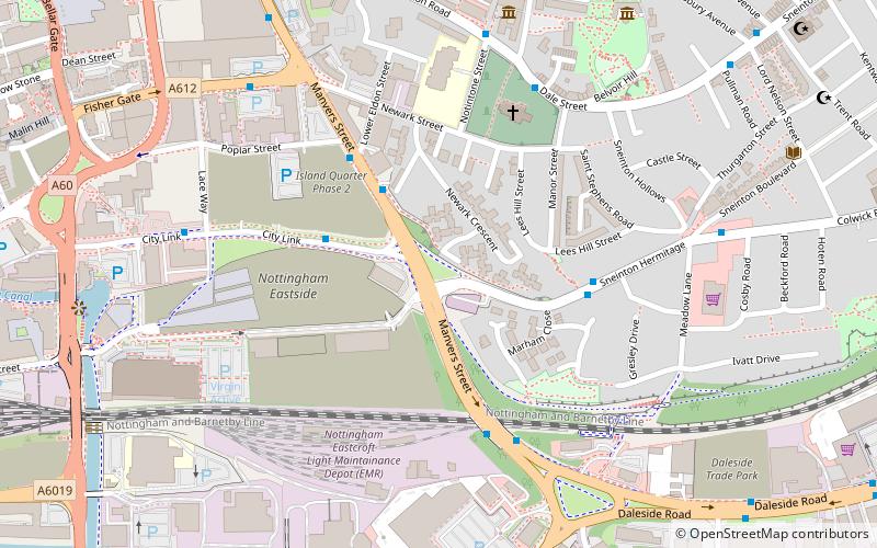
Map

Map

Facts and practical information
St. Stephen's Church, Sneinton is a parish church in the Church of England. ()
Coordinates: 52°56'57"N, 1°7'59"W
Day trips
St Stephen's Church – popular in the area (distance from the attraction)
Nearby attractions include: Meadow Lane Stadium, National Ice Centre, City of Caves, Green's Mill.
Frequently Asked Questions (FAQ)
Which popular attractions are close to St Stephen's Church?
Nearby attractions include Trade Gallery, Nottingham (5 min walk), William Booth Birthplace Museum, Nottingham (6 min walk), Albion Congregational Church, Nottingham (7 min walk), Albion United Reformed Church, Nottingham (7 min walk).
How to get to St Stephen's Church by public transport?
The nearest stations to St Stephen's Church:
Bus
Train
Tram
Bus
- Lower Eldon Street • Lines: 44, 44A, 50, N100, S10 (3 min walk)
- Lees Hill Road • Lines: 44, 44A, S10 (4 min walk)
Train
- Nottingham (14 min walk)
Tram
- Nottingham Station • Lines: 1, 2 (14 min walk)
- Lace Market • Lines: 1, 2 (15 min walk)


