Church of St Saviour-on-the-Cliff, Sandown and Shanklin
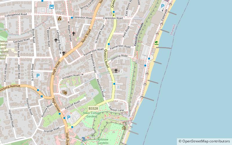
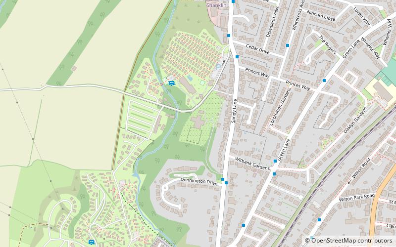
Map

Map

Facts and practical information
The Church of St. Saviour-on-the-Cliff, Shanklin is a Grade II Listed parish church in the Church of England located in Shanklin, Isle of Wight. ()
Coordinates: 50°37'43"N, 1°10'29"W
Day trips
Church of St Saviour-on-the-Cliff – popular in the area (distance from the attraction)
Nearby attractions include: Pirates Cove Adventure Golf Shanklin, St Blasius Church, Shanklin Chine, Rylstone Tea Gardens & Crazy Golf.
Frequently Asked Questions (FAQ)
Which popular attractions are close to Church of St Saviour-on-the-Cliff?
Nearby attractions include Shanklin Chine, Sandown and Shanklin (5 min walk), Rylstone Tea Gardens & Crazy Golf, Sandown and Shanklin (6 min walk), St Paul's Church, Sandown and Shanklin (9 min walk), Pirates Cove Adventure Golf Shanklin, Sandown and Shanklin (9 min walk).
How to get to Church of St Saviour-on-the-Cliff by public transport?
The nearest stations to Church of St Saviour-on-the-Cliff:
Bus
Train
Bus
- Brunswick Hotel • Lines: 22 (1 min walk)
- Hambledon Hotel • Lines: 22 (3 min walk)
Train
- Shanklin (11 min walk)


