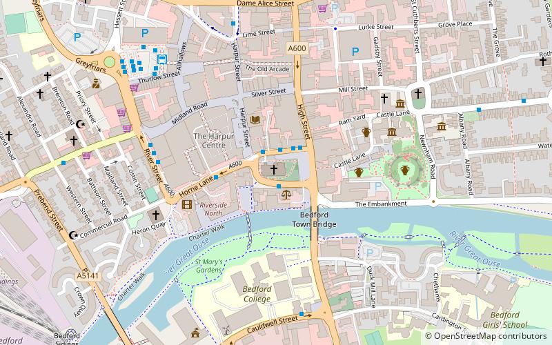
Bedford Abbey, Bedford

Map
Facts and practical information
Bedford Abbey was a short-lived Benedictine monastery, recorded in 10th century England. Bedford Priory, perhaps representing the same institution two centuries later, was an Augustinian priory that within two decades of its foundation moved to nearby Newnham. ()
Coordinates: 52°8'7"N, 0°28'3"W
Address
Bedford
ContactAdd
Social media
Add
Day trips
Bedford Abbey – popular in the area (distance from the attraction)
Nearby attractions include: Bedford Esquires, Bedford Castle, Statue of John Bunyan, Borough Hall.
Frequently Asked Questions (FAQ)
Which popular attractions are close to Bedford Abbey?
Nearby attractions include St Paul's Church, Bedford (1 min walk), Statue of John Howard, Bedford (2 min walk), Corn Exchange, Bedford (2 min walk), Bedford Castle, Bedford (5 min walk).
How to get to Bedford Abbey by public transport?
The nearest stations to Bedford Abbey:
Bus
Train
Bus
- St Paul's Square • Lines: 72, 73 (1 min walk)
- Pilgrims House • Lines: 72, 73 (3 min walk)
Train
- Bedford St Johns (11 min walk)
- Bedford (14 min walk)


