Bene't Street, Cambridge
Map

Gallery
Facts and practical information
Bene't Street is a short, historic street in central Cambridge, England, the name being derived from St Benedict. There is a junction with King's Parade to the north and Trumpington Street to the south at the western end of the street. Free School Lane leads off to the south. To the east, the street continues as Wheeler Street. ()
Length: 350 ftCoordinates: 52°12'14"N, 0°7'6"E
Address
MarketCambridge
ContactAdd
Social media
Add
Day trips
Bene't Street – popular in the area (distance from the attraction)
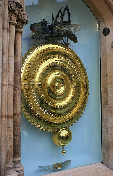
Nearby attractions include: King's College Chapel, Church of St Mary the Great, Lion Yard, Corpus Clock.
Frequently Asked Questions (FAQ)
Which popular attractions are close to Bene't Street?
Nearby attractions include St Bene't's Church, Cambridge (1 min walk), Parker Library, Cambridge (1 min walk), Corpus Clock, Cambridge (1 min walk), Primavera, Cambridge (1 min walk).
How to get to Bene't Street by public transport?
The nearest stations to Bene't Street:
Bus
Train
Bus
- Corpus Christi Col • Lines: 199 (3 min walk)
- Pembroke Street • Lines: 199, U (5 min walk)
Train
- Cambridge (28 min walk)


