Fort Clarence, Gillingham
Map

Gallery

Facts and practical information
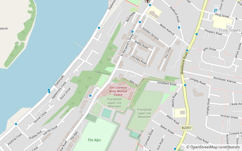
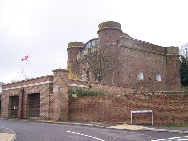
Fort Clarence is a now defunct fortification that was located in Rochester, Kent, England. ()
Coordinates: 51°22'54"N, 0°29'51"E
Day trips
Fort Clarence – popular in the area (distance from the attraction)
Nearby attractions include: Rochester Cathedral, Rochester Castle, Diggerland, Pentagon Shopping Centre.
Frequently Asked Questions (FAQ)
Which popular attractions are close to Fort Clarence?
Nearby attractions include St. Margaret's Church, Gillingham (7 min walk), Restoration House, Gillingham (12 min walk), Eastgate House, Gillingham (14 min walk), Rochester Cathedral, Gillingham (15 min walk).
How to get to Fort Clarence by public transport?
The nearest stations to Fort Clarence:
Bus
Train
Bus
- Star Hill • Lines: 190, 700 (13 min walk)
- Jacksons Fields • Lines: 190, 700 (14 min walk)
Train
- Rochester (18 min walk)
- Chatham (26 min walk)


