New Hall Valley Country Park, Birmingham
Map

Map

Facts and practical information
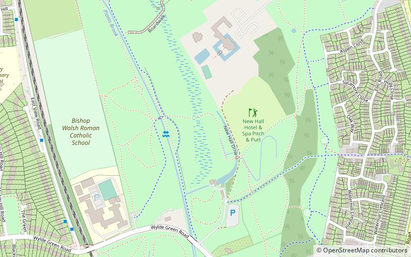
New Hall Valley Country Park is a country park located in New Hall Valley between Walmley, Wylde Green and Pype Hayes in the Sutton Coldfield area of north Birmingham. It is the first new country park in the UK for over a decade. The park is split into "phases". ()
Elevation: 341 ft a.s.l.Coordinates: 52°32'59"N, 1°48'25"W
Day trips
New Hall Valley Country Park – popular in the area (distance from the attraction)
Nearby attractions include: Holy Trinity Church, Sutton Coldfield, Sutton Coldfield Town Hall, Emmanuel Church.
Frequently Asked Questions (FAQ)
How to get to New Hall Valley Country Park by public transport?
The nearest stations to New Hall Valley Country Park:
Bus
Train
Bus
- Walmley Rd / Cater Drive • Lines: 75, X14 (11 min walk)
- Springfield Rd / Springfield Rd • Lines: X14 (11 min walk)
Train
- Wylde Green (28 min walk)
- Sutton Coldfield (34 min walk)


