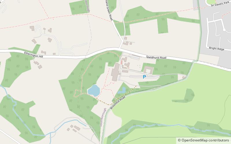
Salomons Museum, Tunbridge Wells
Map

Map

Facts and practical information
The Salomons Museum is a museum north of Tunbridge Wells, in the county of Kent, southeast England. It preserves the country house of Sir David Salomons, the first Jewish Lord Mayor of London, and of his nephew, Sir David Lionel Salomons, a scientist and engineer. Originally called Broomhill, the house is now called Salomons. The museum is managed by Markerstudy Group. ()
Coordinates: 51°9'9"N, 0°14'28"E
Address
Broomhill RoadTunbridge Wells
ContactAdd
Social media
Add
Day trips
Salomons Museum – popular in the area (distance from the attraction)
Nearby attractions include: Royal Victoria Place, Royal Victoria Hall, Great Culverden Park, Salomons Estate.
Frequently Asked Questions (FAQ)
Which popular attractions are close to Salomons Museum?
Nearby attractions include Salomons Estate, Tunbridge Wells (1 min walk), Royal Victoria Hall, Tunbridge Wells (23 min walk).
How to get to Salomons Museum by public transport?
The nearest stations to Salomons Museum:
Bus
Bus
- Library • Lines: 233 (22 min walk)
- Victoria Hall • Lines: 233 (23 min walk)


