Hilsea Lines, Portsmouth
Map
Gallery
Facts and practical information
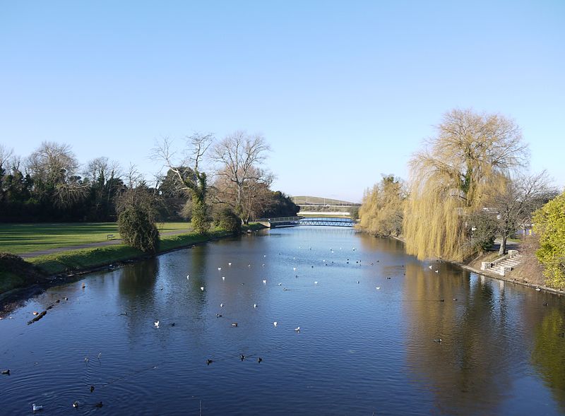
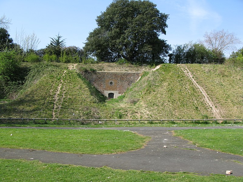
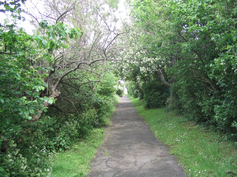
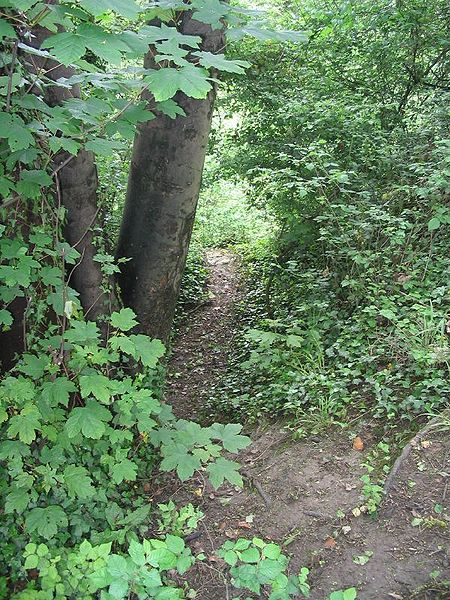
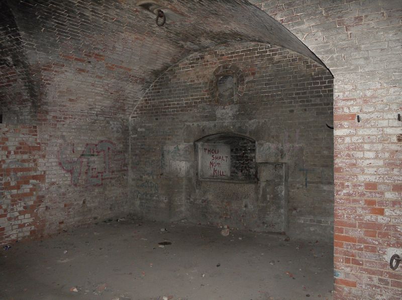
The Hilsea Lines are a line of 18th- and 19th-century fortifications built at Hilsea to protect the northern approach to Portsea Island, an island off the southern coast of England which forms the majority of the city of Portsmouth and its key naval base. They are now used as a greenspace and leisure area, also known locally as Foxes Forest. ()
Coordinates: 50°50'1"N, 1°3'33"W
Address
HilseaPortsmouth
ContactAdd
Social media
Add
Day trips
Hilsea Lines – popular in the area (distance from the attraction)
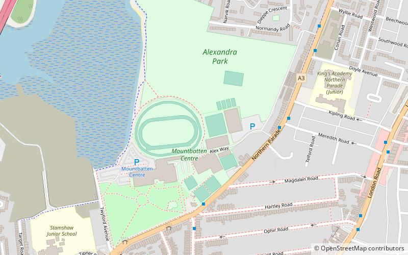
Nearby attractions include: Hilsea Lido, Wymering Manor, Alexandra Park, Hilsea.
Frequently Asked Questions (FAQ)
Which popular attractions are close to Hilsea Lines?
Nearby attractions include Highbury College, Portsmouth (7 min walk), Hilsea, Portsmouth (12 min walk), Cosham, Portsmouth (23 min walk).
How to get to Hilsea Lines by public transport?
The nearest stations to Hilsea Lines:
Train
Train
- Hilsea (10 min walk)
- Cosham (18 min walk)


