Alexandra Park, Hastings
Map

Gallery

Facts and practical information
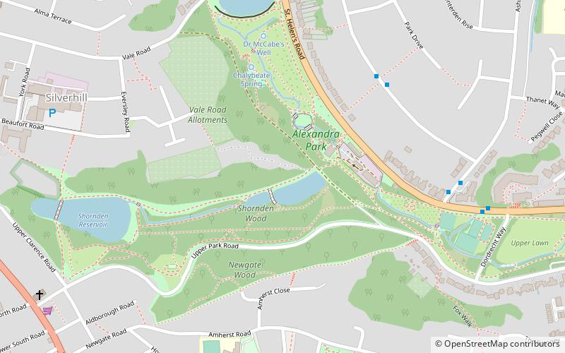
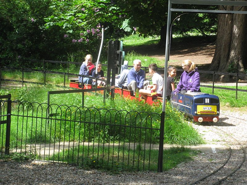
Alexandra Park is a public park located in Hastings, East Sussex in England. Originally named St Andrews Gardens at its opening in 1864, it was then redesigned by Robert Marnock during 1877. The park grew in a series of increments and now occupies approximately 109 acres of the town. Its linear area stretches from the town centre out to residential areas. It was formally opened by the Prince and Princess of Wales on 26 June 1882, and named after the latter. ()
Created: 26 June 1882Elevation: 105 ft a.s.l.Coordinates: 50°51'58"N, 0°33'58"E
Address
Hastings
ContactAdd
Social media
Add
Day trips
Alexandra Park – popular in the area (distance from the attraction)
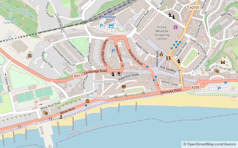
Nearby attractions include: Priory Meadow Shopping Centre, Hastings Castle, Horntye Park Sports Complex, Robertson Street United Reformed Church.
Frequently Asked Questions (FAQ)
Which popular attractions are close to Alexandra Park?
Nearby attractions include St Peter's Church, Hastings (11 min walk), St Luke's United Reformed Church, Hastings (12 min walk), St Matthew's Church, Hastings (12 min walk), Summerfields Wood, Hastings (13 min walk).
How to get to Alexandra Park by public transport?
The nearest stations to Alexandra Park:
Train
Bus
Train
- Hastings (19 min walk)
- St Leonards Warrior Square (20 min walk)
Bus
- Hastings Town Centre, Railway Station (20 min walk)


