Gloucester Green, Oxford
Map

Gallery
Facts and practical information
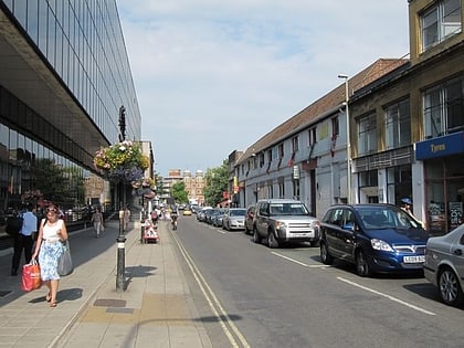
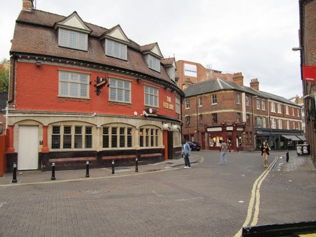
Gloucester Green is a square in central Oxford, England, and the site of the city's bus station. It lies between George Street to the south and Beaumont Street to the north. To the west is Worcester Street and to the east is Gloucester Street. ()
Opened: 1935 (91 years ago)Coordinates: 51°45'15"N, 1°15'44"W
Address
CarfaxOxford
ContactAdd
Social media
Add
Day trips
Gloucester Green – popular in the area (distance from the attraction)
Nearby attractions include: Magdalen Street, Ashmolean Museum, Hythe Bridge Street, Oxford Castle.
Frequently Asked Questions (FAQ)
Which popular attractions are close to Gloucester Green?
Nearby attractions include OFS Studio, Oxford (1 min walk), George Street, Oxford (2 min walk), Worcester Street, Oxford (2 min walk), Beaumont Palace, Oxford (2 min walk).
How to get to Gloucester Green by public transport?
The nearest stations to Gloucester Green:
Bus
Train
Bus
- Gloucester Green Bus Station • Lines: 737, Lgw, Lhr, Tube, X5, X90 (1 min walk)
- George Street • Lines: 14, 14A, S1 (2 min walk)
Train
- Oxford (9 min walk)


