Stewart Park, Middlesbrough
Map

Map

Facts and practical information
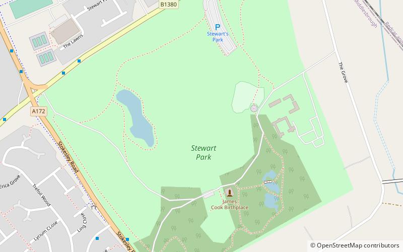
Stewart Park is a 120-acre public park in Middlesbrough, North Yorkshire, in the suburb and former village of Marton, England. ()
Opened: 23 May 1928 (97 years ago)Elevation: 128 ft a.s.l.Coordinates: 54°32'24"N, 1°12'13"W
Day trips
Stewart Park – popular in the area (distance from the attraction)
Nearby attractions include: Ormesby Hall, Captain Cook Birthplace Museum, Gunnergate Hall, Middlesbrough Cathedral.
Frequently Asked Questions (FAQ)
Which popular attractions are close to Stewart Park?
Nearby attractions include Captain Cook Birthplace Museum, Middlesbrough (4 min walk), Easterside, Middlesbrough (15 min walk), Ormesby Hall, Middlesbrough (22 min walk).
How to get to Stewart Park by public transport?
The nearest stations to Stewart Park:
Train
Bus
Train
- Marton (10 min walk)
- James Cook (22 min walk)
Bus
- Ormesby Crossroads • Lines: 5A, 63, X5 (30 min walk)
- Parkway Centre • Lines: 24 (30 min walk)


