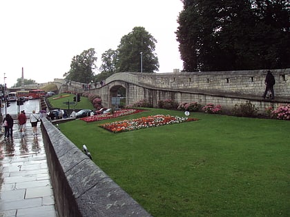
Micklegate, York
Map
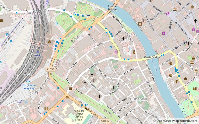
Map

Facts and practical information
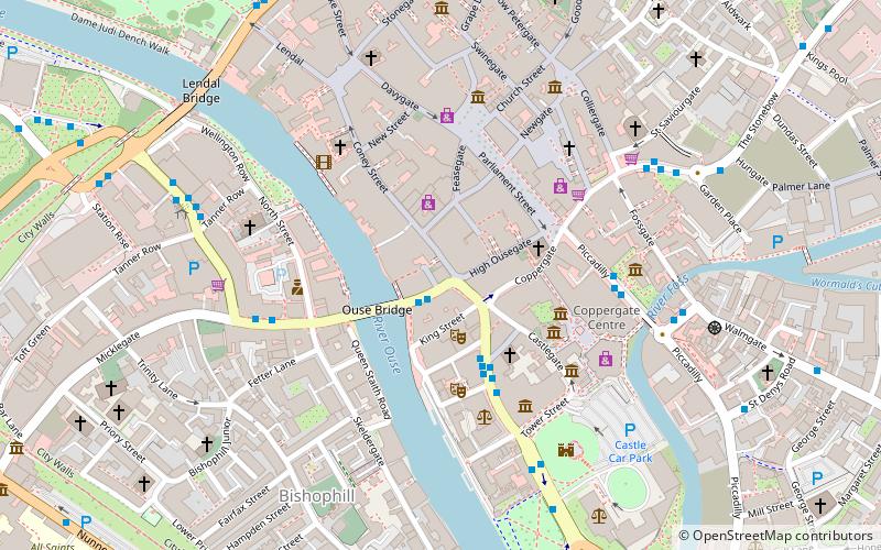
Micklegate is a street in the City of York, England. The name means "Great Street", "gate" coming from the Old Norse gata, or street. ()
Coordinates: 53°57'26"N, 1°5'18"W
Address
MicklegateYork
ContactAdd
Social media
Add
Day trips
Micklegate – popular in the area (distance from the attraction)
Nearby attractions include: Spurriergate Centre, Mansion House, Lendal Tower, All Saints' Church.
Frequently Asked Questions (FAQ)
Which popular attractions are close to Micklegate?
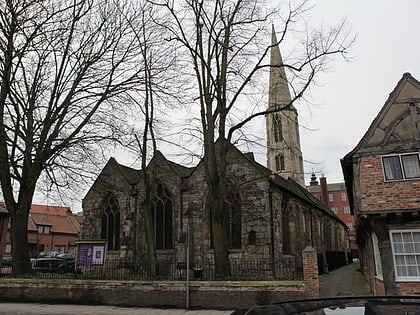
Nearby attractions include Holy Trinity Church, York (1 min walk), St Martin-cum-Gregory's Church, York (2 min walk), Tanner Row, York (2 min walk), Micklegate Priory, York (3 min walk).
How to get to Micklegate by public transport?
The nearest stations to Micklegate:
Bus
Train
Bus
- Rougier Street • Lines: 10, 44, 66 (3 min walk)
- Rail Station • Lines: 426, 436, 66 (4 min walk)
Train
- York (6 min walk)

