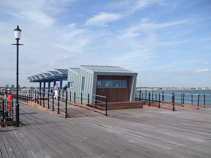
Southend Pier Railway, Southend
Map
Gallery
Facts and practical information
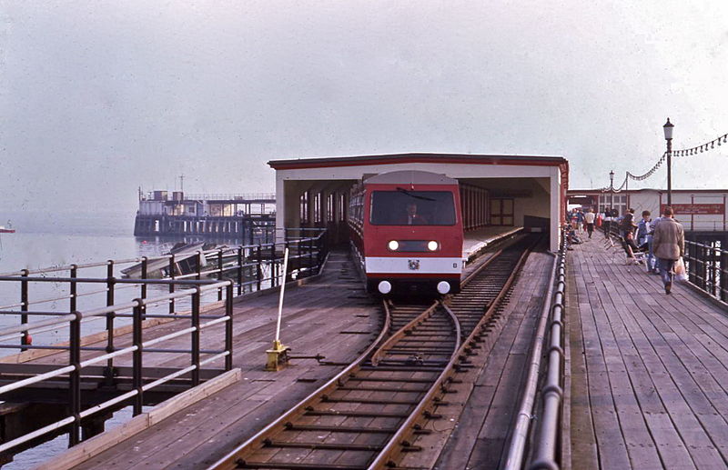
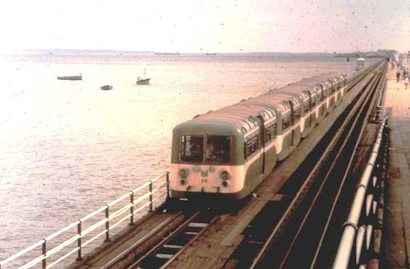
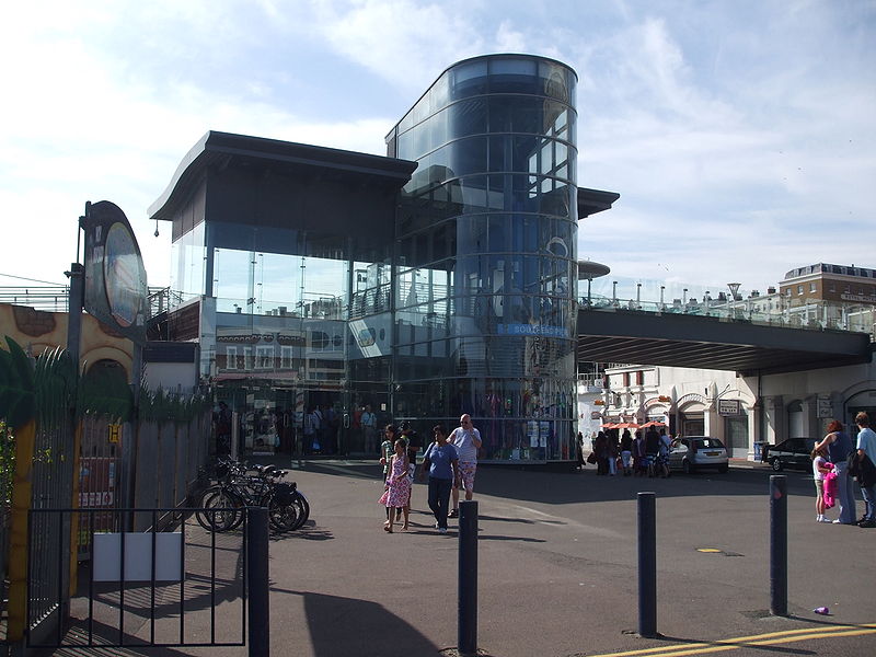
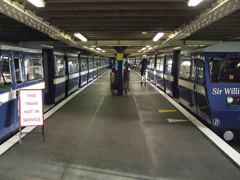
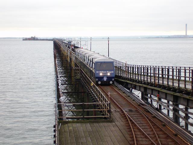
The Southend Pier Railway is a 3 ft narrow gauge railway in the English city of Southend-on-Sea, Essex. It runs for 1.25 miles along the 1.34 miles length of Southend Pier, providing public passenger transport from the shore to the pier head. ()
Coordinates: 51°31'33"N, 0°43'3"E
Day trips
Southend Pier Railway – popular in the area (distance from the attraction)
Nearby attractions include: Adventure Island, Kursaal, The Railway Hotel, Southend Pier.
Frequently Asked Questions (FAQ)
Which popular attractions are close to Southend Pier Railway?
Nearby attractions include Southend Pier, Southend (11 min walk), Three Shells Beach and Lagoon, Southend (14 min walk), Kursaal, Southend (16 min walk), New Empire Theatre, Southend (18 min walk).
How to get to Southend Pier Railway by public transport?
The nearest stations to Southend Pier Railway:
Train
Bus
Train
- Shore (13 min walk)
- Pier Head (17 min walk)
Bus
- Kursaal • Lines: 9 (15 min walk)
- Burdett Road • Lines: 9 (15 min walk)


