Leeds Dock, Leeds
Map
Gallery
Facts and practical information
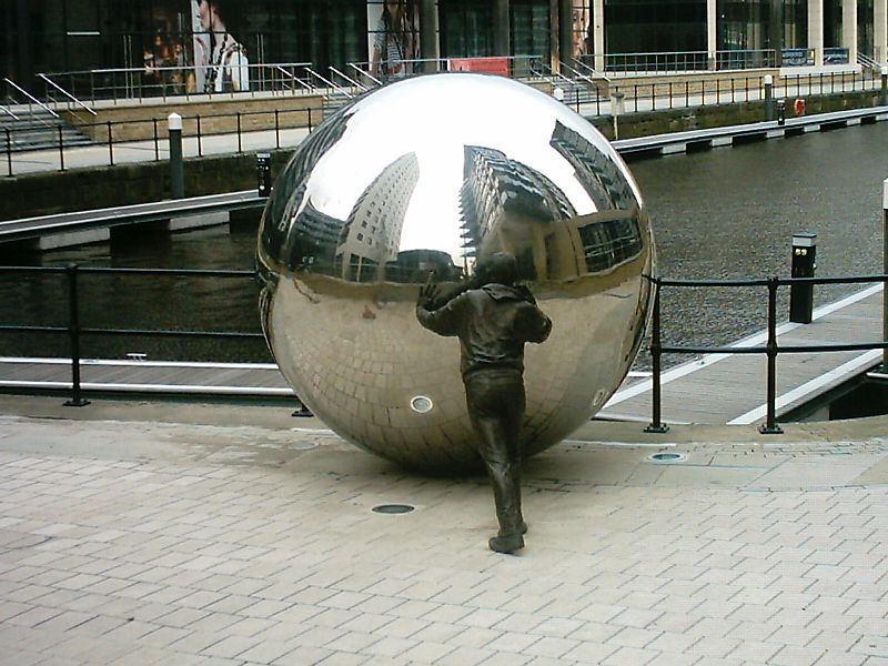
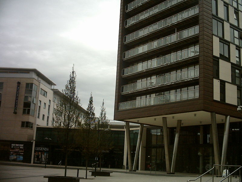
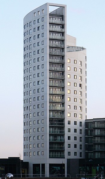
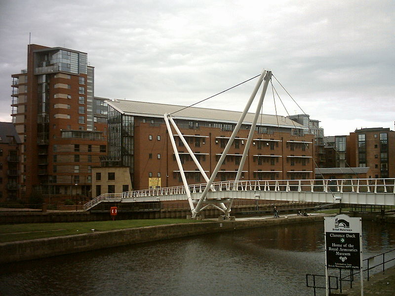
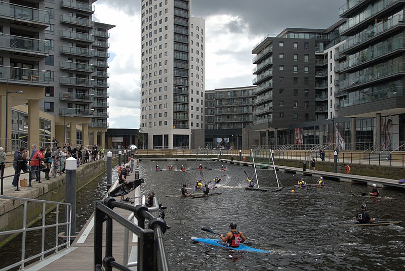
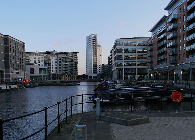
Leeds Dock is a mixed development with retail, office and leisure presence by the River Aire in central Leeds, West Yorkshire, England. It has a large residential population in waterside apartments. ()
Coordinates: 53°47'29"N, 1°32'0"W
Day trips
Leeds Dock – popular in the area (distance from the attraction)
Nearby attractions include: Briggate, Leeds Corn Exchange, Leeds Kirkgate Market, The Tetley.
Frequently Asked Questions (FAQ)
Which popular attractions are close to Leeds Dock?
Nearby attractions include Royal Armouries, Leeds (2 min walk), Royal Armouries Museum, Leeds (2 min walk), Armouries Square, Leeds (2 min walk), Discovery Centre, Leeds (6 min walk).
How to get to Leeds Dock by public transport?
The nearest stations to Leeds Dock:
Ferry
Bus
Train
Ferry
- Leeds Water Taxi Dock • Lines: Leeds Dock Water Taxi (16 min walk)
Bus
- Leeds Dock A • Lines: 29 (1 min walk)
- Leeds Dock B • Lines: 110, 444, 446 (3 min walk)
Train
- Leeds (17 min walk)


