BT Tower, Birmingham
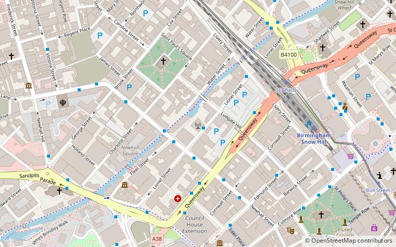
Map
Gallery
Facts and practical information
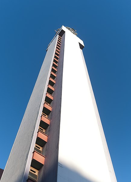
The BT Tower, formerly known as the Post Office Tower and the GPO Tower, is a landmark and telecommunications tower in Birmingham, England. It is the tallest structure in the city. Its post office code was YBMR. ()
Completed: 1966 (60 years ago)Floors: 31Coordinates: 52°29'1"N, 1°54'15"W
Day trips
BT Tower – popular in the area (distance from the attraction)
Nearby attractions include: Birmingham Museum and Art Gallery, Great Western Arcade, City Hall, Victoria Square.
Frequently Asked Questions (FAQ)
Which popular attractions are close to BT Tower?
Nearby attractions include Newhall Street, Birmingham (2 min walk), Birmingham Assay Office, Birmingham (3 min walk), St Paul's Square, Birmingham (4 min walk), St Paul's Church, Birmingham (4 min walk).
How to get to BT Tower by public transport?
The nearest stations to BT Tower:
Bus
Tram
Train
Bus
- Gc4 • Lines: 9, X8 (3 min walk)
- Gc3 • Lines: 9, X8 (3 min walk)
Tram
- St Chads • Lines: 1 (5 min walk)
- Saint Paul's • Lines: 1 (7 min walk)
Train
- Birmingham Snow Hill (5 min walk)
- Birmingham New Street (13 min walk)


