Caldecott Park, Rugby
Map

Map

Facts and practical information
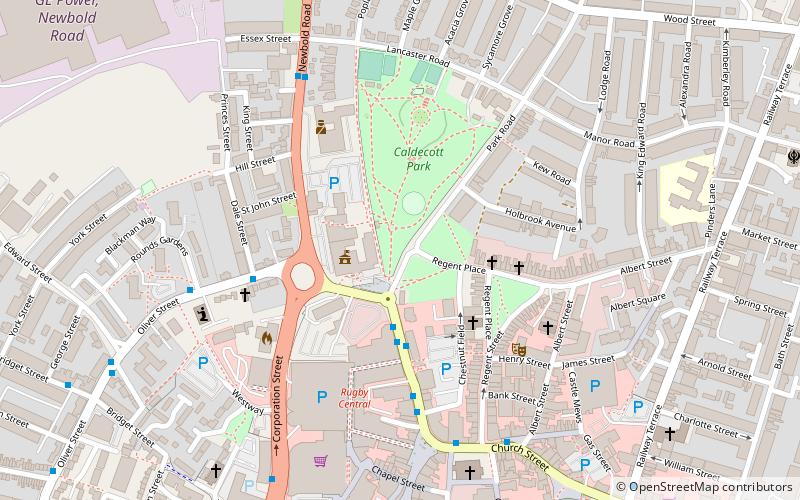
Caldecott Park is an urban park located in the centre of Rugby, England. Most of the land was purchased by the Rugby Urban District Council in 1903 from Thomas Caldecott, the last lord of the manor. There was additional land purchased to the north of the original park in 1911, bringing the park to its current size of 10.6 acres. ()
Elevation: 374 ft a.s.l.Coordinates: 52°22'32"N, 1°15'46"W
Day trips
Caldecott Park – popular in the area (distance from the attraction)
Nearby attractions include: Macready Theatre, Rugby Town Hall, St Andrew's Church, Rugby Theatre.
Frequently Asked Questions (FAQ)
Which popular attractions are close to Caldecott Park?
Nearby attractions include Rugby Town Hall, Rugby (2 min walk), Benn Hall, Rugby (2 min walk), Clock Towers Shopping Centre, Rugby (4 min walk), Rugby Theatre, Rugby (4 min walk).
How to get to Caldecott Park by public transport?
The nearest stations to Caldecott Park:
Bus
Train
Bus
- North Street • Lines: 25, 85, 85A, 85B (4 min walk)
- Lancaster Road • Lines: 85, 85A, 85B (5 min walk)
Train
- Rugby (16 min walk)


