Boggart Hole Clough, Manchester
Map

Map

Facts and practical information
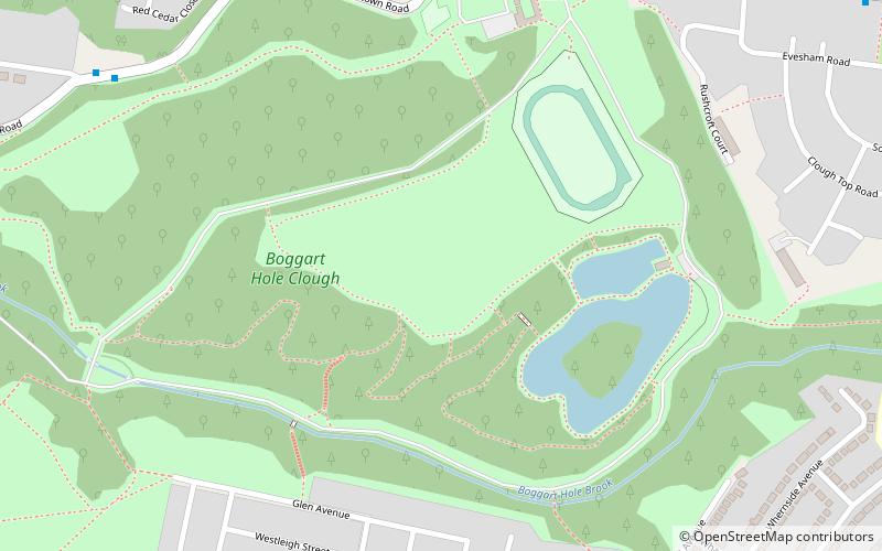
Boggart Hole Clough is a large woodland and urban country park in Blackley, a suburb of Manchester, England. It occupies an area of approximately 76 hectares, part of an ancient woodland, with picturesque cloughs varying from steep ravines to sloping gullies. Clough is a local dialect word for a steep sided, wooded valley. Boggart Hole Clough was designated a Local Nature Reserve in 2008. ()
Elevation: 308 ft a.s.l.Coordinates: 53°31'12"N, 2°12'6"W
Address
CharlestownManchester
ContactAdd
Social media
Add
Day trips
Boggart Hole Clough – popular in the area (distance from the attraction)
Nearby attractions include: Broadhurst Park, Church of St Peter, Broadhurst Park, Hexagon Tower.
Frequently Asked Questions (FAQ)
Which popular attractions are close to Boggart Hole Clough?
Nearby attractions include Church of St Peter, Manchester (18 min walk), Broadhurst Park, Manchester (23 min walk), Blackley, Manchester (23 min walk).
How to get to Boggart Hole Clough by public transport?
The nearest stations to Boggart Hole Clough:
Bus
Tram
Bus
- Rochdale Road/Old Road • Lines: 53 (13 min walk)
Tram
- Newton Heath and Moston • Lines: EDid, Roch, Shaw (34 min walk)

 Metrolink
 Metrolink / Rail


