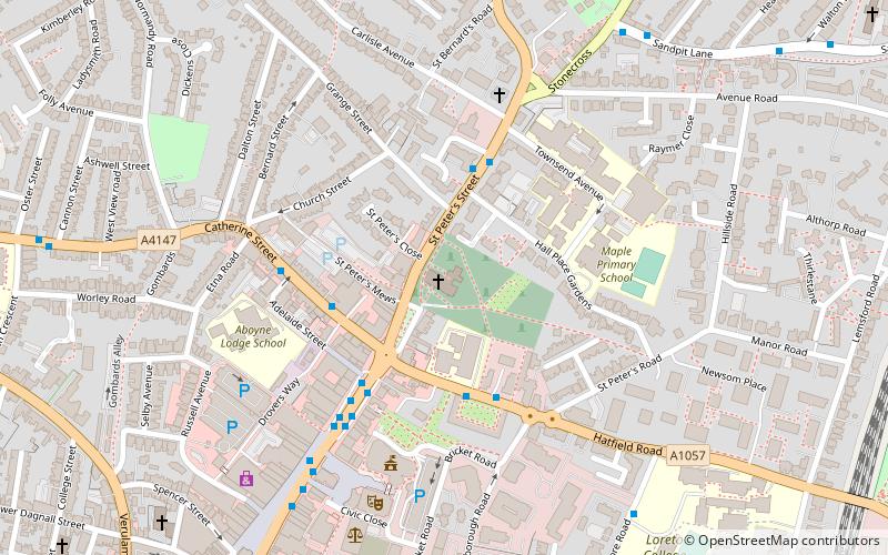
St Peter's Church, St Albans
Map

Map

Facts and practical information
St Peter's Church is a Church of England parish church. It is located in St Albans, England, at the northern end of the town centre. ()
Coordinates: 51°45'20"N, 0°20'6"W
Day trips
St Peter's Church – popular in the area (distance from the attraction)
Nearby attractions include: The Boot, St Albans Cathedral, Batchwood Hall, St Albans Museums.
Frequently Asked Questions (FAQ)
Which popular attractions are close to St Peter's Church?
Nearby attractions include Alban Arena, St Albans (5 min walk), St Albans Museums, St Albans (8 min walk), Gallery Rouge, St Albans (9 min walk), Clock Tower, St Albans (10 min walk).
How to get to St Peter's Church by public transport?
The nearest stations to St Peter's Church:
Bus
Train
Bus
- Chime Square • Lines: 84 (3 min walk)
- St Peter's Street • Lines: 724, 84 (5 min walk)
Train
- St Albans City (13 min walk)
- St Albans Abbey (21 min walk)


