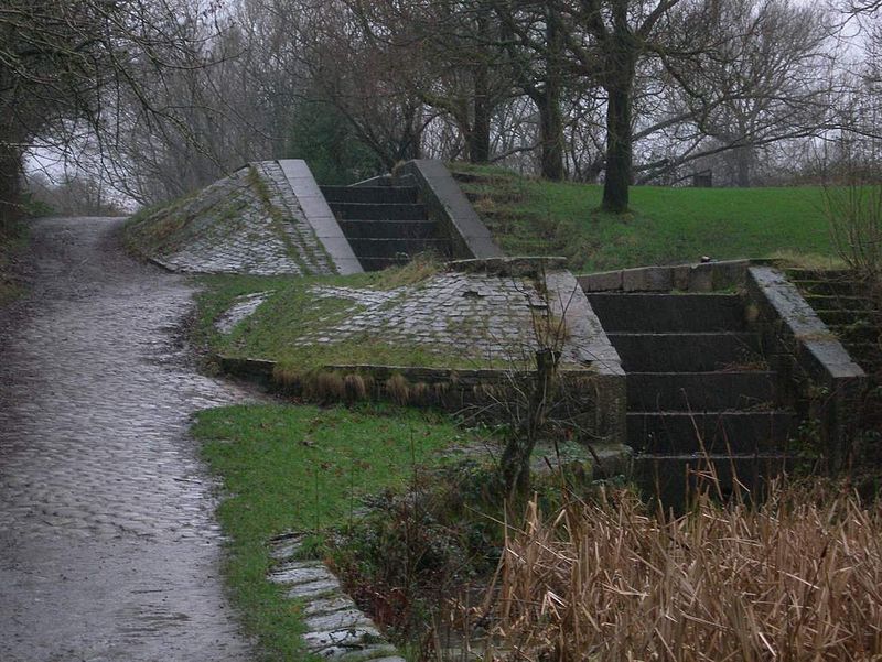
Daisy Nook, Ashton-under-Lyne

Gallery (2)
Map
Map
Gallery
Facts and practical information
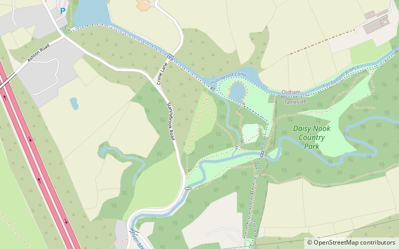
Daisy Nook is a country park in Failsworth, Greater Manchester, England, which runs through the Medlock Valley. ()
Elevation: 318 ft a.s.l.Coordinates: 53°30'18"N, 2°7'23"W
Address
Oldham (Failsworth East)Ashton-under-Lyne
ContactAdd
Social media
Add
Getting there by public transportation
Public transportation stops near this location
- Bus
- Tram
 Bus
Bus
- Calculate routeAshton West 30 min walk
- Calculate routeHollinwood 37 min walk
- Calculate routeAshton-under-Lyne 37 min walk
- Calculate routeAshton Moss, Lord Sheldon Way / Ashton West Metrolink Station 30 min walk
- Calculate routeWaterloo, Lord Sheldon Way / Sainsburys 32 min walk
- Calculate routeAshton-under-Lyne Interchange 38 min walk
Day trips


Frequently Asked Questions (FAQ)
How to get to Daisy Nook by public transport?
The nearest stations to Daisy Nook:
Tram
Bus
Tram
- Ashton West • Lines: Asht, Eccl, Mcuk (30 min walk)
- Hollinwood • Lines: EDid, Roch, Shaw (37 min walk)
Bus
- Ashton Moss, Lord Sheldon Way / Ashton West Metrolink Station • Lines: 7, 7A, 7B (30 min walk)
- Waterloo, Lord Sheldon Way / Sainsburys • Lines: 7, 7A, 7B (32 min walk)