Mill Meadows, Henley-on-Thames
Map

Map

Facts and practical information
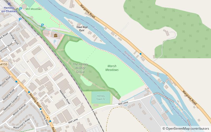
Mill Meadows is part of the flood plain of the River Thames at Henley-on-Thames, Oxfordshire, England. It is an area of natural beauty close to the town centre of Henley. Marsh Lock. ()
Elevation: 115 ft a.s.l.Coordinates: 51°31'51"N, 0°53'30"W
Address
Henley-on-Thames
ContactAdd
Social media
Add
Day trips
Mill Meadows – popular in the area (distance from the attraction)
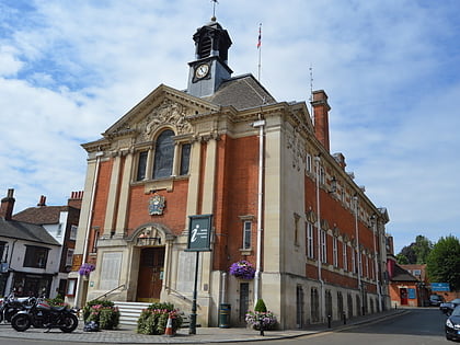
Nearby attractions include: Henley Town Hall, River & Rowing Museum, Friar Park, Kenton Theatre.
Frequently Asked Questions (FAQ)
Which popular attractions are close to Mill Meadows?
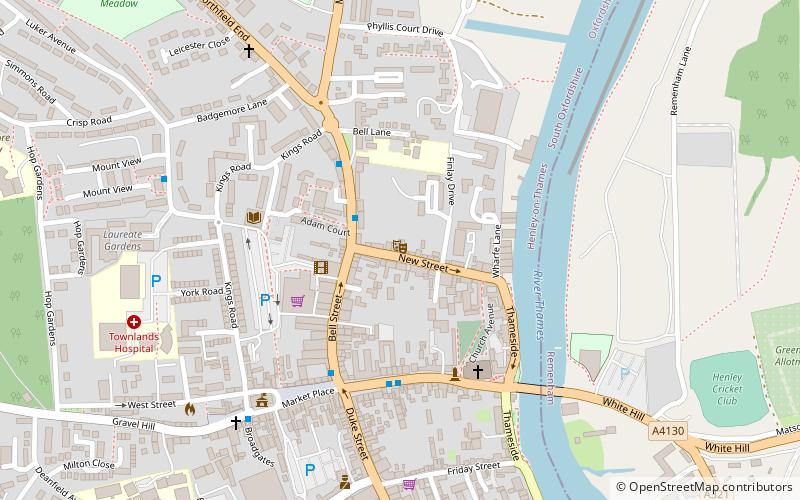
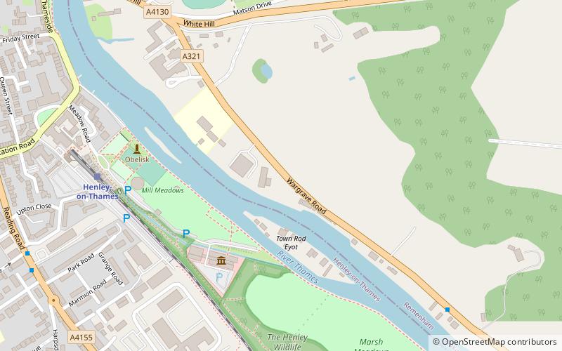
Nearby attractions include Rod Eyot, Henley-on-Thames (4 min walk), River & Rowing Museum, Henley-on-Thames (6 min walk), Henley Bridge, Henley-on-Thames (16 min walk), Henley Town Hall, Henley-on-Thames (20 min walk).
How to get to Mill Meadows by public transport?
The nearest stations to Mill Meadows:
Train
Train
- Henley-on-Thames (11 min walk)


