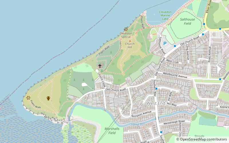
St Andrew's Church, Clevedon
Map

Map

Facts and practical information
The Church of St Andrew in Clevedon, Somerset, England. Parts of the original 12th-century church remain with 14th- and 15th-century additions. It is on a hill overlooking the Bristol Channel, and has been designated as a Grade I listed building. ()
Coordinates: 51°25'58"N, 2°52'21"W
Address
Clevedon
ContactAdd
Social media
Add
Day trips
St Andrew's Church – popular in the area (distance from the attraction)
Nearby attractions include: Curzon Community Cinema, 19 alexandra road, Clock Tower, Clevedon Pier.
Frequently Asked Questions (FAQ)
Which popular attractions are close to St Andrew's Church?
Nearby attractions include Clevedon Marine Lake, Clevedon (7 min walk), Clevedon Pier, Clevedon (21 min walk), 19 alexandra road, Clevedon (23 min walk), Clock Tower, Clevedon (24 min walk).
How to get to St Andrew's Church by public transport?
The nearest stations to St Andrew's Church:
Bus
Bus
- Clevedon Triangle • Lines: 54 (23 min walk)
- Tutton Way • Lines: 54 (24 min walk)


