Priory Park, Warwick

Facts and practical information
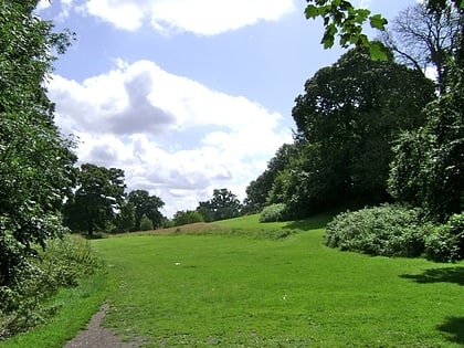
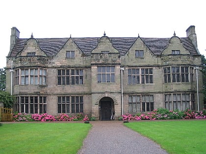
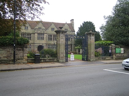
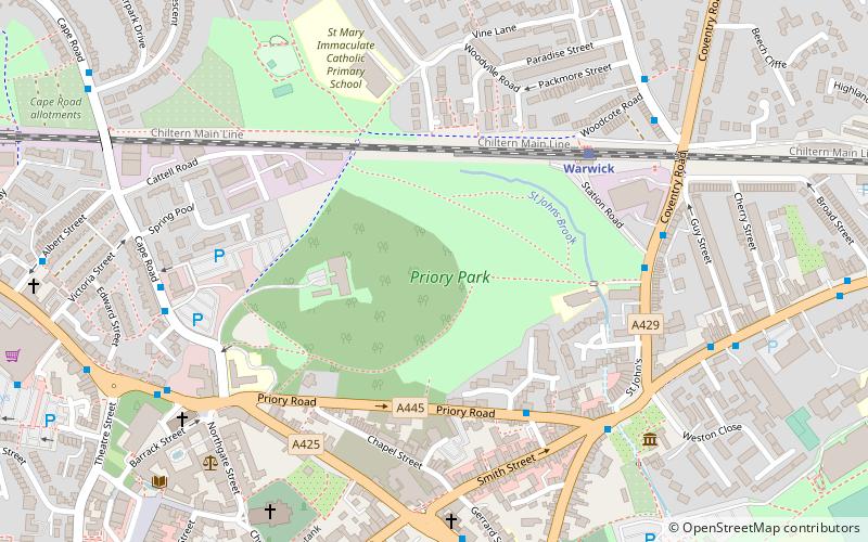
Priory Park is an urban park located in the centre of Warwick, England. Originally the land was the grounds of a 12th-century priory dedicated to St Sepulchre and built in 1124 but this was closed down by King Henry VIII during the dissolution of the Monasteries. It was then destroyed and a residential home was built in 1566 by a man named Thomas Fisher known as Hawkins. In the 17th century, the estate was owned by Sir Thomas Puckering, 1st Baronet and his heirs, including Sir Henry Puckering, 3rd Baronet who was MP for Warwickshire and then the borough of Warwick. ()
Warwick
Priory Park – popular in the area (distance from the attraction)
Nearby attractions include: Warwick Castle, Warwick Racecourse, Collegiate Church of St Mary, The Mill Garden.
Frequently Asked Questions (FAQ)
Which popular attractions are close to Priory Park?
How to get to Priory Park by public transport?
Train
- Warwick (5 min walk)
- Warwick Parkway (30 min walk)
Bus
- Warwick Bus Station (11 min walk)
- Primrose Hill • Lines: 1 (18 min walk)
