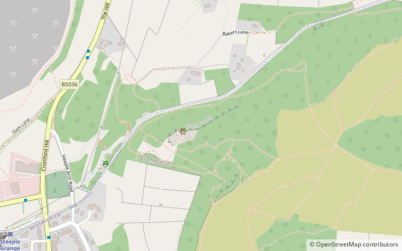
Black Rocks, Cromford
Map

Map

Facts and practical information
Black Rocks, is a small outcrop of ashover gritstone, between Cromford and Wirksworth in Derbyshire, the Peak District, England. It is an important crag in the history of British rock climbing, and has some of the most extreme climbing routes in Britain, including Gaia. ()
Elevation: 866 ft a.s.l.Coordinates: 53°5'55"N, 1°33'45"W
Day trips
Black Rocks – popular in the area (distance from the attraction)
Nearby attractions include: Cromford Mill, Masson Mill, Derwent Valley Heritage Way, St Mary's Church.
Frequently Asked Questions (FAQ)
Which popular attractions are close to Black Rocks?
Nearby attractions include National Stone Centre, Wirksworth (15 min walk), Cromford Wharf, Cromford (20 min walk), Cromford Mill, Cromford (21 min walk).


