Fen Causeway, Cambridge
Map

Gallery

Facts and practical information
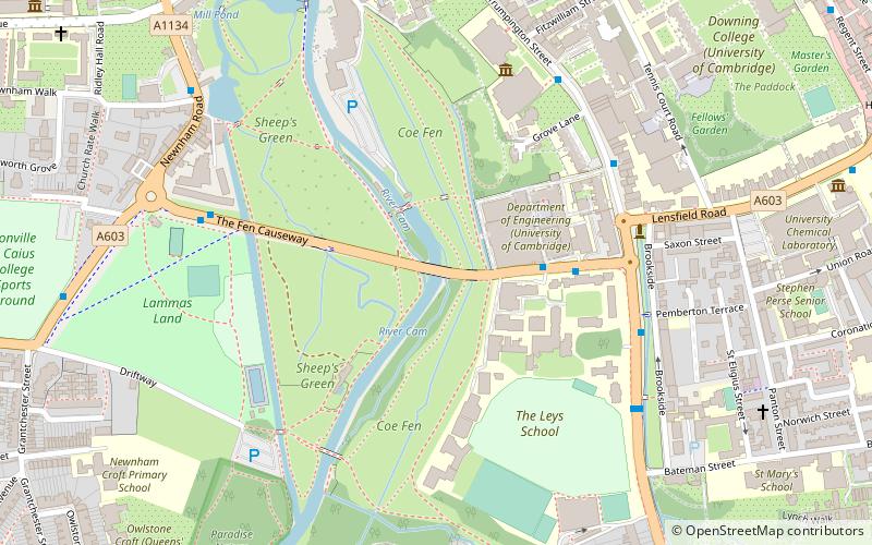
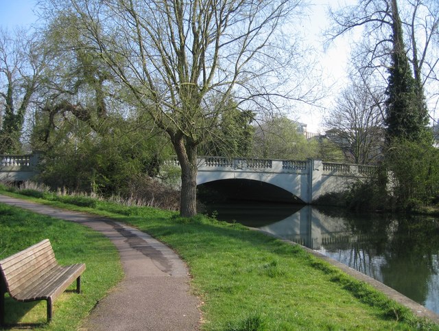
Fen Causeway is a link road in the city of Cambridge, United Kingdom, constructed in the mid-1920s to ease the pressure on Silver Street. It forms part of the A1134 ring road. It links Newnham Road and Trumpington Road and spans the River Cam with Sheep's Green to the south and Coe Fen to the north. There is little residential development on this road. ()
Coordinates: 52°11'51"N, 0°7'6"E
Address
TrumpingtonCambridge
ContactAdd
Social media
Add
Day trips
Fen Causeway – popular in the area (distance from the attraction)
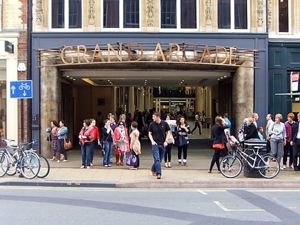
Nearby attractions include: Fitzwilliam Museum, Grand Arcade, St Andrew's Street, Primavera.
Frequently Asked Questions (FAQ)
Which popular attractions are close to Fen Causeway?
Nearby attractions include Sheep's Green and Coe Fen, Cambridge (3 min walk), Coe Fen, Cambridge (4 min walk), Memorial Chapel, Cambridge (4 min walk), Peterhouse, Cambridge (5 min walk).
How to get to Fen Causeway by public transport?
The nearest stations to Fen Causeway:
Bus
Train
Bus
- Leys School • Lines: 18, 18A, 199, 75 (4 min walk)
- Fitzwilliam Museum • Lines: 199, U (5 min walk)
Train
- Cambridge (22 min walk)


